Col du Juvenet
3 points of interest

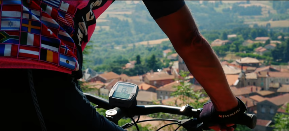
 Panorama
Viewing point
View of the village of Vaudevant down below from here- Panorama
Viewing point
Discover here a splendid view of the Daronne and Doux valleys 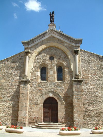
Eglise romane de Saint Félicien - Ardèche Hermitage Tourisme 
Saint Félicien and its church
Written records about the village of St Félicien were discovered as from the Xth century. Monks from St Barnard’s collegiate (Romans sur Isère) came here to build a priory. The village developed round the chapel of the priory that then became the parish church. Push the door to discover its interior. The choir is a good example of early Roman art of the Xlth century. The low southern side was partly destroyed and rebuilt towards the end of the Middle Ages. The style is more sober with broken bows.
Description
1 – Vaudevant
Head towards Préaux and turn right just after the restaurant down the steep paved lane. When you get to the old mill, cross the stream la Vivance then continue ahead uphill on a grass path through undergrowth. When you come to the small road go straight ahead to the main road. Turn right onto the road and first left onto the lane. When you reach a wide right bend, turn right onto the continuous uphill track with a few rocky parts.
2 - Le Grangeon
Turn right onto the level track with a regular downhill slope through woodland.
3 - Bois de Meyannes
Carry on downhill on the main track until you reach the Col du Juvenet. Cross the main road and head opposite onto the continuous uphill track towards Montplot.
4 – Montplot
Go through this picturesque hamlet, with its panoramic view, onto the wide track facing you. Go over the ridge to the other hillside then downhill on the track becoming a road further down.
5 - Les Brudonnes
On the hairpin bend turn right onto a quite technical path going down through chestnut trees. As you come out of the wood go through the hamlet and carry on along the road leading to it. A few hundred metres further on, bear right onto the path going between woodland and fields and down onto a small lane. Turn right here and go as far as Col de Fontaille. Cross the main road and head straight on onto the small lane.
6 – Montpeyroux
Carry on along the hillside track. The going is quite rough on the continuous downhill incline amongst chestnut trees. Further down, turn right onto the road and go along as far as the large hairpin bend on the main road. Turn left onto the main road and go along for a few metres before turning first left. Just before reaching the end, turn right onto the downhill path leading to the old bridge. Go across then straight after to the right on the uphill path along the wall of a private property. Go into the village of Saint Félicien heading towards the main central square.
7 - Saint Félicien
Go across the square, past the post office, left past the old butcher’s shop then right before the stone porch.
8 – The Park
Continue ahead and onto the steep uphill road to the right leading to the cemetery.
9 - La Simonde
Turn right onto the small road facing the cemetery. At the end, turn left onto the path at the corner of the first house. The going is quite steep and rough underfoot making it also quite technical. Further up turn right onto a more pleasant path then becoming a road. On the sharp right bend head down along the field coming out onto the main road. Cross the road and go along the path running parallel to it. Carry on along for a few more metres.
10 – Sauze
Continue ahead on the main road then turn first right. Just below, go onto the level path in the woods that zigzags gently uphill taking you back to the starting point.
- Departure : Vaudevant - Centre of the village
- Arrival : Vaudevant - Centre of the village
- Towns crossed : Vaudevant, Saint-Victor, and Saint-Félicien
Altimetric profile
Information desks

6, place du 8 mai 1945 - BP 70019, 26601 Tain l'Hermitage
Access and parking
Follow the D115 from Saint Félicien to Vaudevant.
Parking :
Accessibility
- Emergency number :
- 114
More information
Report a problem or an error
If you have found an error on this page or if you have noticed any problems during your hike, please report them to us here: