Raillon
3 points of interest
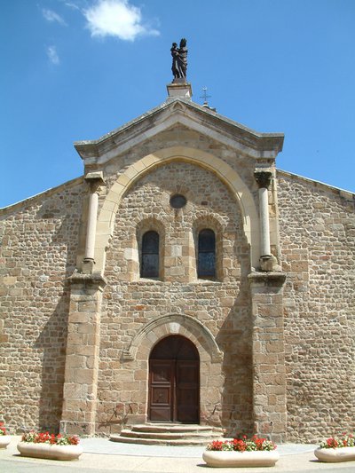
Eglise romane de Saint Félicien - Ardèche Hermitage Tourisme 
Saint Félicien and its church
Written records about the village of St Félicien were discovered as from the Xth century. Monks from St Barnard’s collegiate (Romans sur Isère) came here to build a priory. The village developed round the chapel of the priory that then became the parish church. Push the door to discover its interior. The choir is a good example of early Roman art of the Xlth century. The low southern side was partly destroyed and rebuilt towards the end of the Middle Ages. The style is more sober with broken bows.
 Panorama
Viewing point
Splendid view of the Daronne Valley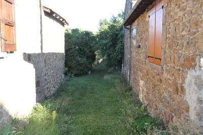
Passage entre les bâtiments - Ardèche Hermitage Tourisme Saint Félicien's silk farm
The link between silkworm breeding and the county of Ardèche dates back to the XVlth century when Olivier de Serre, father of present day agronomy and also personal advisor of Henri fully gave his support and encouragement for this activity. The moth of the Bombyx caterpillar has the particularity of secreting a filament that becomes silk when it solidifies. « Magnanerie » is the French name given to the silk farm where silkworms are cultivated. The name comes from the word « magnans », meaning big eaters. Silkworms are often called by this name due to their enormous appetite when given fresh mulberry leaves.
Description
1 - Saint Félicien - 535 m Follow Vaudevant 3 km Pailharès 7.9 km
Go up the narrow streets of Saint Félicien.
2 - The Park Follow Pierrageay 2,9 km Bozas 7 km
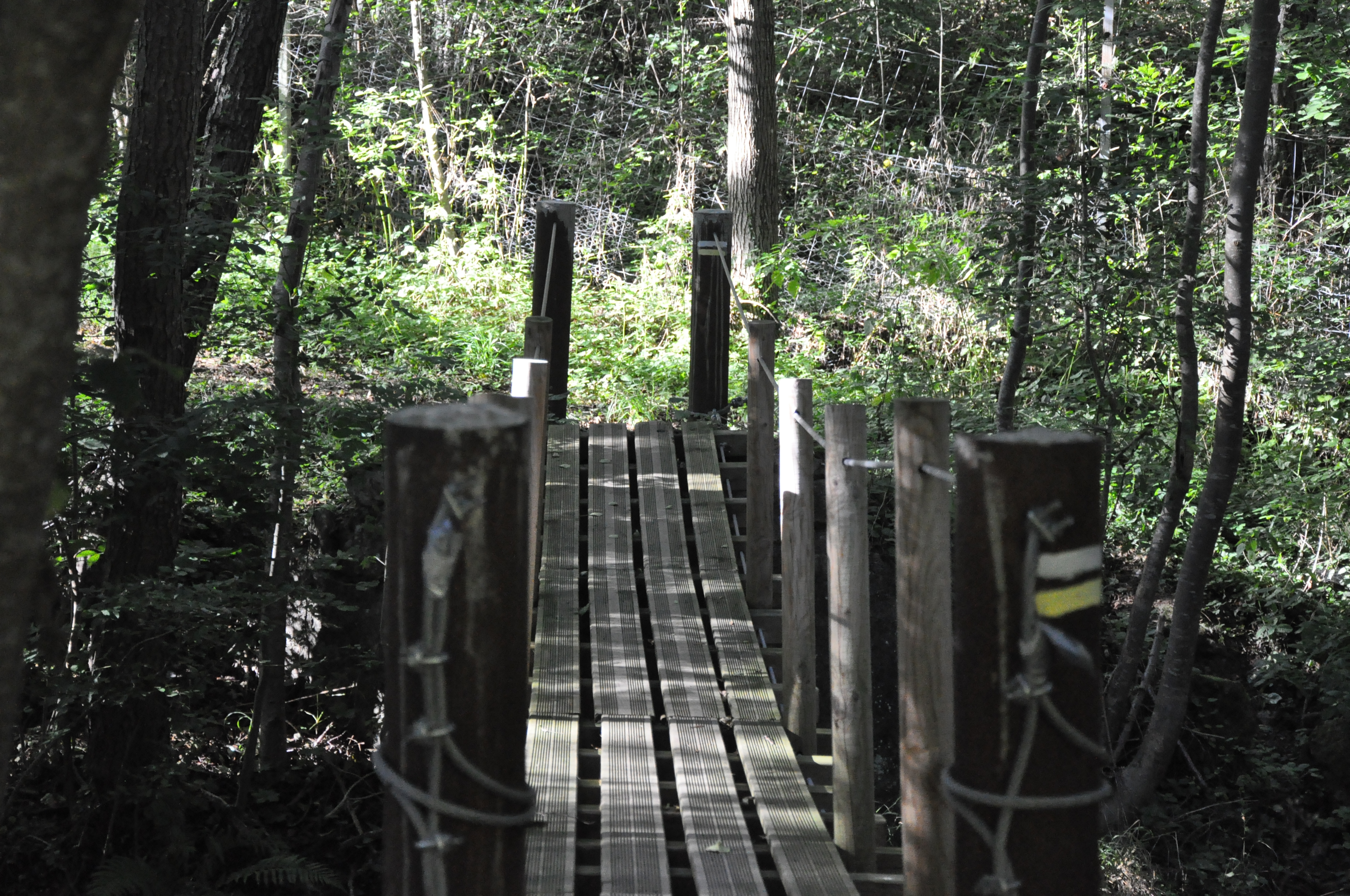
Walk through the park. Take the road of Pailharès below the reception hall, pass by the tennis court and continue straight. Take the small road on the left after the exit road sign for Saint Félicien, towards Olivier. Just before the last house, take the path down to the left enters the woods. At the second hairpin turn, take the path to the left on the side of the road. A little, further to the right, take the steep path and hairpin turn to the Raillon’s footbridge. Cross and take the small path on the right that goes up the other side to Raillon. You will cross a sheep meadow, take care to close the gates after your passage.
3- Raillon - 458 m Follow Pierrageay 1.4 km Bozas 6.4 km
Follow the road leaving the hamlet then at the following crossroads turn left onto the road downhill. Once on the main road turn right and go a few metres.
4 - Pierrageay - 405 m Follow Saint Félicien 2.3 km
After the bridge, liable to flooding, turn right and go along the river
5 - Brintenas - 420m Follow Saint Félicien 1.8 km
Go up the small lane, cross a little stream then turn right onto a path going up to Saint Félicien. When you get to the road, turn right then left and continue ahead back to the centre of the village.
- Departure : Saint Félicien - Post office car park
- Arrival : Saint Félicien - Post office car park
- Towns crossed : Saint-Félicien and Saint-Victor
Altimetric profile
Information desks

6, place du 8 mai 1945 - BP 70019, 26601 Tain l'Hermitage
Transport
Access and parking
Access Follow the D238 from Tournon sur Rhône then the D532 to Saint Félicien.
Parking :
More information
Report a problem or an error
If you have found an error on this page or if you have noticed any problems during your hike, please report them to us here: