Col du Buisson
Pailharès
Col du Buisson
Very hard
2h30
25km
+1039m
-1044m
Embed this item to access it offline
5 points of interest
La Daronne en aval de Saint Félicien - Ardèche Hermitage Tourisme  Geology
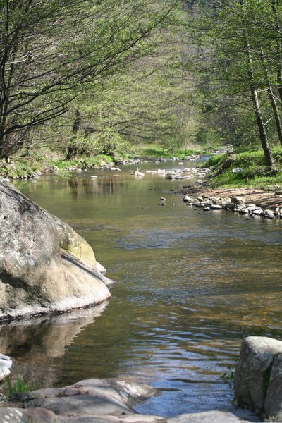
The Daronne river and its ?????
The village of Pailharès is situated on the higher part of the Daronne catchment area. The catchment area is the entire zone that collects water and directs it towards a river and its tributaries. It is a sort of bottleneck that swallows up all the streams coming into the river. It therefore has its own boundaries : divides that naturally follow the mountain ridges. Rainfall falling on one side of the slope accumulates, running into the streams that finally go into the river Daronne that then flows into the river Doux, a tributary of the river Rhône. This same rainfall may also filter into gaps in the rock forming groundwater then coming out in spring forms and feeding various streams. On site, these many streams can be seen thanks to the presence of a specific vegetation (particularly water absorbing plants) such as bullrushes, birch, easily noticeable with its white bark, alder and willow , only to mention a few.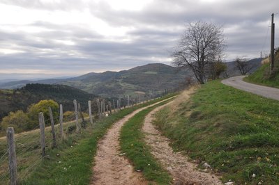
Point de vue sur la vallée de la Daronne - Ardèche Hermitage Tourisme  Panorama
Viewing point
Splendid views of the Daronne Valley and the French Alps

Fortified farmhouse of La Chaux
The hamlet of Lachaux is characteristic of the small villages of the Haut Vivarais area. Houses bunched together in one spot. Easy to imagine here how life was organised around a genuine community and punctuated by nature’s seasons. .- Panorama
Viewing point
A splendid 360° panoramic view from here; : on one side Mont Gerbier de Jonc (the river Loire starts its course here) and on the other the French Alps with the Mont Blanc standing majestically. - Panorama
Viewing point
Splendid view of the high Doux Valley on one side and on the other the Daronne Valley and hilltop village of Pailharès
Description
1 - Pailharès
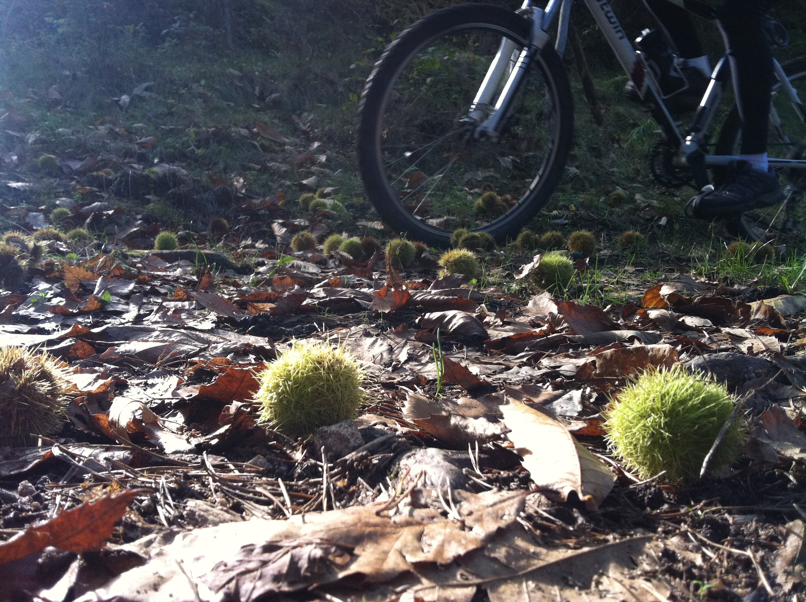
Follow the concrete then tarmac lane. Go past the house then into a forest of chestnut trees on a dirt track. After the river, head uphill coming out of the woods on a pretty stone-paved path that leads to a road. Turn left and go as far as the following house (Fontay) and take the grass path adjacent to it. The path leads to a road where you turn right.
2 - Le Clos de Pierre Martin
Turn right onto the path plunging down towards the river Daronne valley. After the hamlet with its stone houses turn right onto a grass track. Cross the main road and onto the small lane below.
3 - La Croze de Marron
Go left onto the path down into the dale below the road. Follow the road heading into the hamlet then just before the bridge turn left onto the path leading to the stone-built houses. Go across the lovely wooden bridge and along the river over the other side on the forest track. You come out on a country lane that you follow down to a house. Facing you the lane will take you to the main road where you turn right towards Saint Félicien.
4 - Pont de Maillotière
On the right take the small road heading to Nozières and go over the bridge. Turn left at la Billardière. Turn left towards le Verger. Further up bear right onto the steep path between fields and go over the hilltop to the other side. Take the path facing you below the barn then up the quite steep slope into the chestnut trees.
5 - Le Grand Pré
Turn right onto the forest track. When you reach a barn you will come out onto a small road. Turn left and go along the road for a few metres. Take the path going uphill past the farm then down between fields to the old fortified farmhouse le Pleynet. Go down the road leading to the farm then turn first left. The road becomes a path when you get to Ségnoché. It goes along hedgerows before emerging into woodland and onto a forest track. Turn right and carry on along the smooth track. Cross through fields onto another pretty steep forest track finishing off the uphill climb. When you come out onto the forest route continue until you reach the aerial mast at Col de Fontfreyde.
6 - Col de Fontfreyde
Turn left onto the road towards Nozières.
7 - Croix de Junique
Take the path on the right between fields going down into woodland then onto an overhead path going past a farm in stonework. After the farm, the path goes back up into a wood of chestnut trees coming out onto a small lane. Turn left here and go along for a few metres before turning right onto a country lane.
8 - Serre de Pailher
Turn right into the dense forest of various species of pine trees then come out of the woods into animal pastures and onto the main road. Turn immediately right onto the path leading up into woodland then onto a plateau. When you reach the plateau bear right at the farm la Chaux. Go along the plateau taking you to a rough path on the right.
9- Le Fouillas
Go along the main road until you get to Col du Buisson.
10 - Col du Buisson
Turn onto the narrow grass track starting below the platform between the two roads leading to the village of Pailharès. The track crosses a small road and goes down a pretty steep incline to a rather rugged dale. On the small road continue to go down on the right then onto the road below facing you. From here you can see the village of Pailharès in front of you. Turn right onto the bushy path and go back towards the village along the hillside.
- Departure : Pailharès - Village stopover area
- Arrival : Pailharès - Village stopover area
- Towns crossed : Pailharès and Saint-Félicien
Altimetric profile
Information desks

6, place du 8 mai 1945 - BP 70019, 26601 Tain l'Hermitage
Access and parking
Follow the D273 from Saint Félicien to Pailharès.
Parking :
Village stopover area
Accessibility
- Emergency number :
- 114
More information
Report a problem or an error
If you have found an error on this page or if you have noticed any problems during your hike, please report them to us here: