Col du Marchand
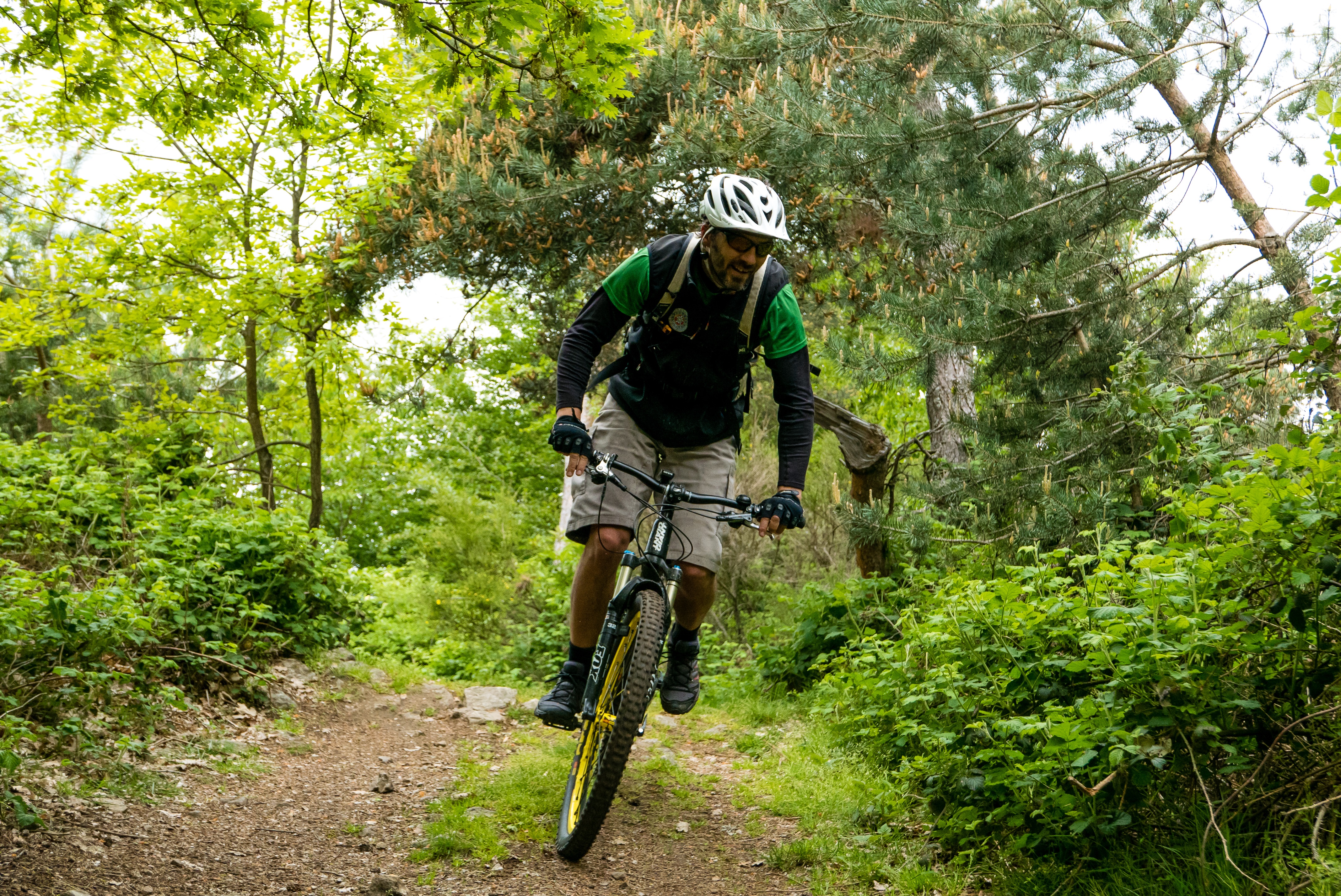
Pailharès
Col du Marchand
Hard
1h30
10,5km
+493m
-495m
Embed this item to access it offline
5 points of interest

 Panorama
Viewing point
Viewing point Flora
FloraAfter the fire
In 2003 a great fire destroyed a large part of the forest in le Serre des Vernes area. Around ten years later nature took over again and vegetation enabled the mountain to restore its colours. Here we explain the different stages of how nature came back to life :- the pioneering stage : moss and lichen appeared – the blooming stage : after a few years the grass and plant cover became more dense. – the bush and shrub stage : after the appearance of brambles and broom other bushes began to develop (blackthorn, hawthorn, dog rose…) to form a very dense “bushy moorland” – The woodland stage : It took at least 30 years (and even more) for well-established trees to grow naturally again ( hazelnut, oak, Sylvester pine…) It took even longer for the area of Serre des Vernes to see its forest again.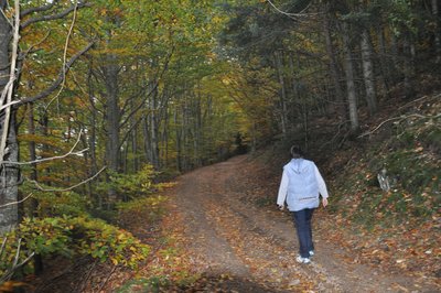
Forêts de hêtres - Ardèche Hermitage Tourisme FloraA short tale about Ardèche woodland today
At the beginning of the 20th century there was no more than 100,000 hectares of woodland in Ardèche. Many farmers were always searching for more land even on steep slopes (terraces). Following the two world wars and a huge rural exodus much of this land was abandoned. Some was transformed into woodland and other became wilderness or moorland. The forest now covers 250,000 hectares, almost a third of the size of Ardèche and is constantly gaining ground. The forest belongs to many private owners, many of them farmers. They own 90% of the total surface of woodland, however, the division of these forest areas causes complications for its management..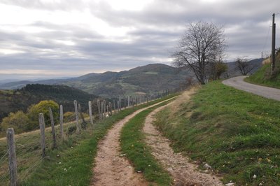
Point de vue sur la vallée de la Daronne - Ardèche Hermitage Tourisme PanoramaViewing point
Splendid views of the Daronne Valley and the French Alps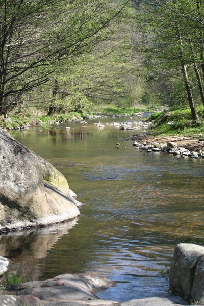
La Daronne en aval de Saint Félicien - Ardèche Hermitage Tourisme  Geology
The Daronne river and its ?????
The village of Pailharès is situated on the higher part of the Daronne catchment area. The catchment area is the entire zone that collects water and directs it towards a river and its tributaries. It is a sort of bottleneck that swallows up all the streams coming into the river. It therefore has its own boundaries : divides that naturally follow the mountain ridges. Rainfall falling on one side of the slope accumulates, running into the streams that finally go into the river Daronne that then flows into the river Doux, a tributary of the river Rhône. This same rainfall may also filter into gaps in the rock forming groundwater then coming out in spring forms and feeding various streams. On site, these many streams can be seen thanks to the presence of a specific vegetation (particularly water absorbing plants) such as bullrushes, birch, easily noticeable with its white bark, alder and willow , only to mention a few.
Description
1 – Pailharès
Head for Col du Marchand and from here turn first left towards the factory Nectardechois. Once past the factory go onto the path in the woods running parallel below the road then coming out again a little further on. When you reach les Bauds carry on along the track replacing the road. The slope becomes steep and quite technical for a good kilometre. You come out on a forest route. From this point the rest of the climb becomes more gentle and goes past a hunters’ cabin.
2 - Le Serre des Vernes
Follow the main track. After a slight downhill section turn right and go down a rough path to Col du Marchand.
3 - Col du Marchand
Carry on along the main road downhill (careful !). After the house turn right onto a downhill path then onto another path zigzagging through thicket. Cross a small stream then go uphill a little before reaching and continuing along the main track.
4 - Les Granges
Go past the topside of les Granges, cross through a chestnut tree grove until you reach a small exposed road.
5 - Le Clos de Pierre Martin
Leave the road behind you to turn left downhill towards les maisons de Fontay. Go through the hamlet then carry on ahead down the road. At the end of the tarmac road turn right onto a lovely stone-paved and grass path. The path enters into a wood of chestnut trees, crosses a stream then goes uphill through woodland. Finally, a small road will take you back to the village.
- Departure : Pailharès - Village stopover area
- Arrival : Pailharès - Village stopover area
- Towns crossed : Pailharès
Altimetric profile
Information desks

6, place du 8 mai 1945 - BP 70019, 26601 Tain l'Hermitage
Access and parking
Follow the D273 from Saint Félicien to Pailharès.
Parking :
Village stopover area
Accessibility
- Emergency number :
- 114
More information
Report a problem or an error
If you have found an error on this page or if you have noticed any problems during your hike, please report them to us here: