Pierre Aiguille

Crozes-Hermitage
Pierre Aiguille
Hard
2h
3,6km
+219m
-218m
Embed this item to access it offline
1 point of interest
 Panorama
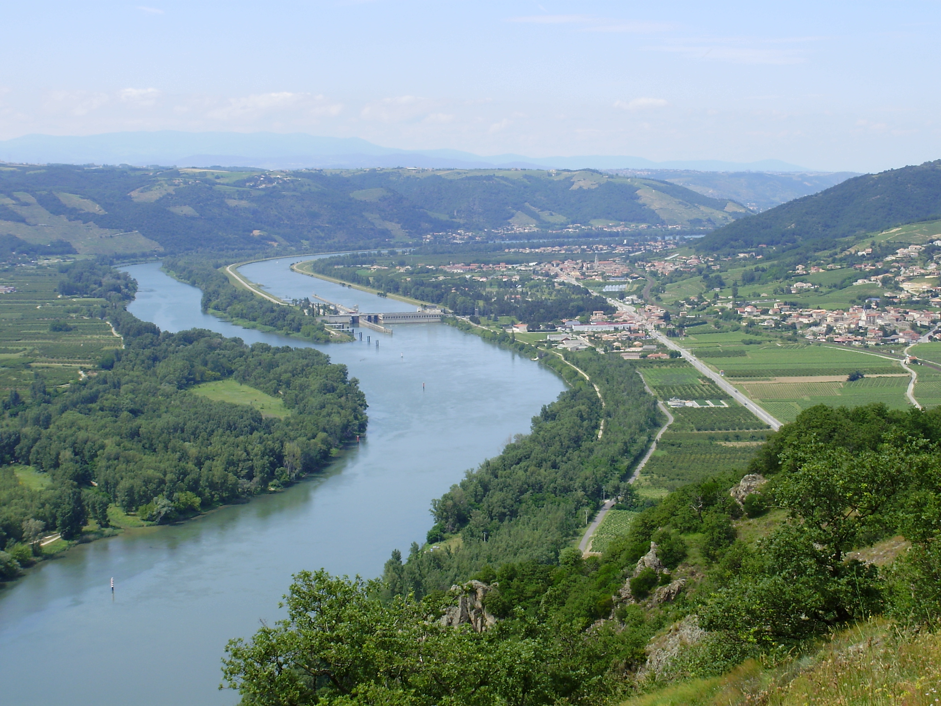
Pierre Aiguille viewing point
This 360° viewing point is situated on a small granitic island, seperated from the foothills of the Massif Central by the river Rhône. In a beautiful sunny spot the slopes offer a rocky soil that vine roots simply adore. It is today classified amongst the Sensitive Natural Areas and is considered one of the gems of our region. The legend says that in 1225 a hermit, living there, grew the first vines to offer wine to pilgrims passing through and his name was therefore given to the vineyard.
Description
1 - Crozes Hermitage
On leaving the car park go across the bridge then turn left past the townhall heading towards L’Epinet Pierre Aiguille for a few hundred steps.
2 - Les Pinets
Turn right onto the forest track overlooking Crozes Hermitage. Turn right again onto the path going down into a clearing. At the end when you get to the forest turn left onto the track (15 minutes) going through woodland, vines and orchards (some uncertain paths here) so keep to the obvious section. To the right, towards the forest, take the clearly marked trail with steep parts and wooden steps. Here you have a beautiful view overlooking Crozes and the Vercors mountains. Within 20 minutes you will be on the ridge above the Rhône Valley. Carry on along the ridge until you reach the viewpoint. The path is well-marked but narrow and steep (you can see other close bluffs – about 45-minute walk)
3 - Pierre Aiguille
Head south on a dirt track then, on the bend at the crossroads signed up Chapelle de l’Hermitage, take the tarmac road.
4 - Les Balmes
After 100m, turn left onto a path through thicket and woodland with steep inclines down and wooden steps. At the bottom of the ravine the path becomes wider (vines, orchards, conifers). Carry on on the road just after the farm and turn left taking you back to the starting point.
- Departure : Crozes hermitage -Church car park
- Arrival : Crozes hermitage -Church car park
- Towns crossed : Crozes-Hermitage
Altimetric profile
Information desks
6, place du 8 mai 1945 - BP 70019, 26601 Tain l'Hermitage
Access and parking
Follow the N7 towards Saint Vallier then right onto the D163 to Crozes Hermitage
Parking :
Church car park
Report a problem or an error
If you have found an error on this page or if you have noticed any problems during your hike, please report them to us here:

