Morens

Étables
Morens
Easy
1h30
4,5km
+264m
-267m
Embed this item to access it offline
2 points of interest
 Fauna
FaunaVictims of their fur !
If the habitat of beavers can be seen regularly in the Doux and Duzon rivers it is not the case in the river Daronne although occasionally characteristic traces reveal their presence. Towards the end of the XlXth century the species was virtually extinct due to hunting for their fur, traps and destruction of their living environment. This left the animal with only the low Rhône valley as a refuge. In 1909 the European beaver became a protected species allowing them to proliferate going as far as Lyon towards 1960. However, the building of dams on the river Rhône prevented colonization of other zones. They were therefore reintroduced in different parts of France. Another species, the otter was present in the Doux Valley during the first half of XXth century and trapped in the river Daronne in Saint Sorny. Just like the beaver it was mostly hunted for its fur. A protected species nowadays, there are a few colonies of this carniverous animal in Ardèche. Panorama
Viewing point
Beautiful view overlooking the Doux Valley
Description
1 - Morens - 443 m Follow Saint Sorny 2.1 km
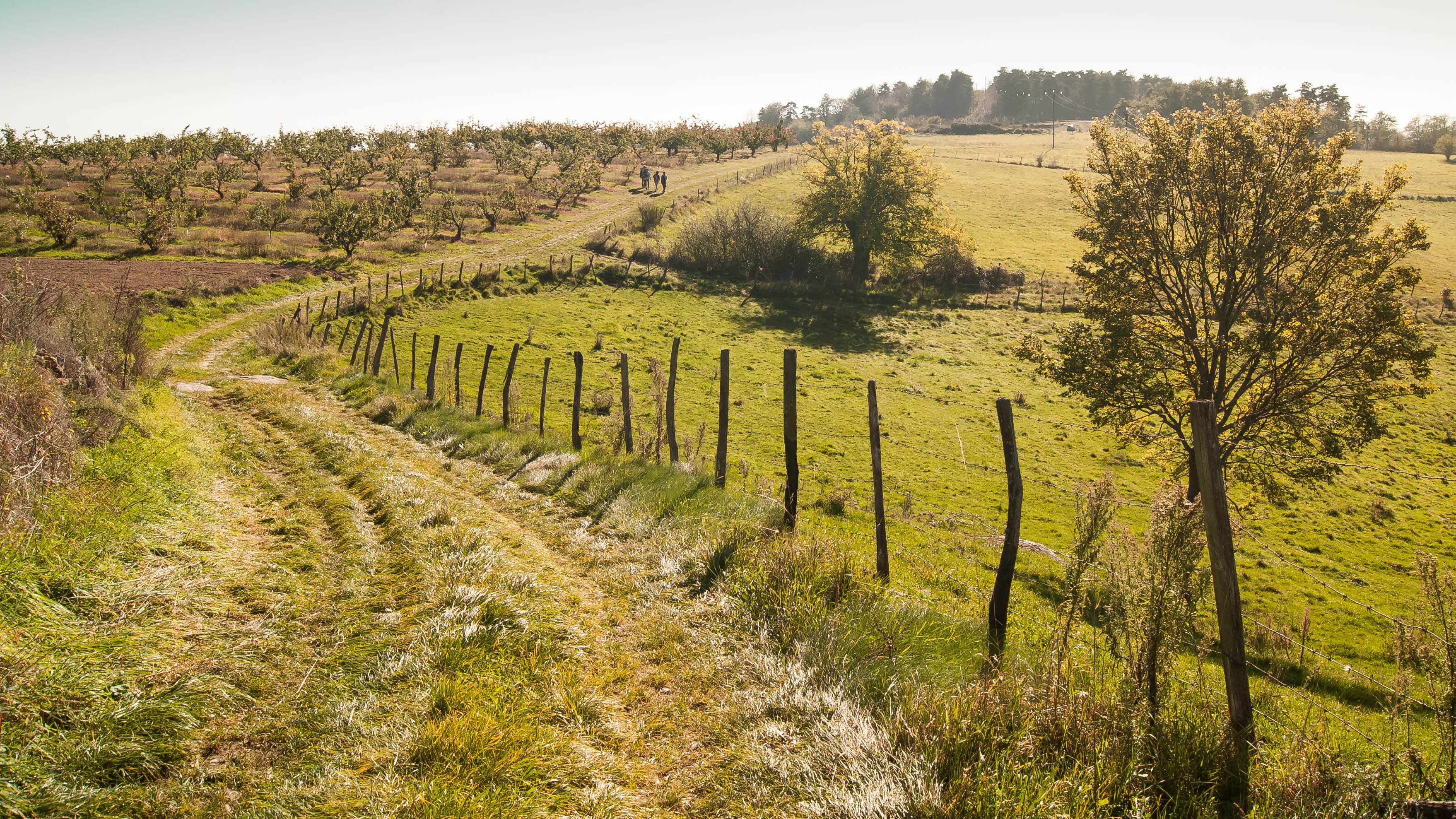
Start the walk on a low-walled path between fields and vines. The track goes into woods of Sylvester pine trees leading down to the river Daronne. Follow the sinuous, steep slope down.
2 - Le Tignon - 260 m Follow Saint Sorny 600m
You arrive at the point where the river Daronne meets the river Jointine. If the water level is low enough during the dry months, you can cross the river to the other side taking you up to the picturesque hamlet of Saint Sorny.
3 - Saint Sorny Follow Morens 2.1 km
Retrace your steps heading towards Le Tignon but this time going along the river and past la béalière (an old irrigation canal).
2 - Le Tignon 260 m Follow Morens 1.6 km
Time to tackle the uphill southern slope along the rocky hillside. The path emerges into cooler woodland then goes through orchards before returning to the village of Morens.
- Departure : Etables - Hameau de Morens
- Arrival : Etables - Hameau de Morens
- Towns crossed : Étables, Saint-Victor, and Colombier-le-Vieux
Altimetric profile
Information desks
6, place du 8 mai 1945 - BP 70019, 26601 Tain l'Hermitage
Access and parking
Follow the D238 then the D532 towards Saint Félicien and the D229 towards Etables. Just before the village take the small lane to the left down to the hamlet Morens.
Parking :
Hameau de Morens
Report a problem or an error
If you have found an error on this page or if you have noticed any problems during your hike, please report them to us here:

