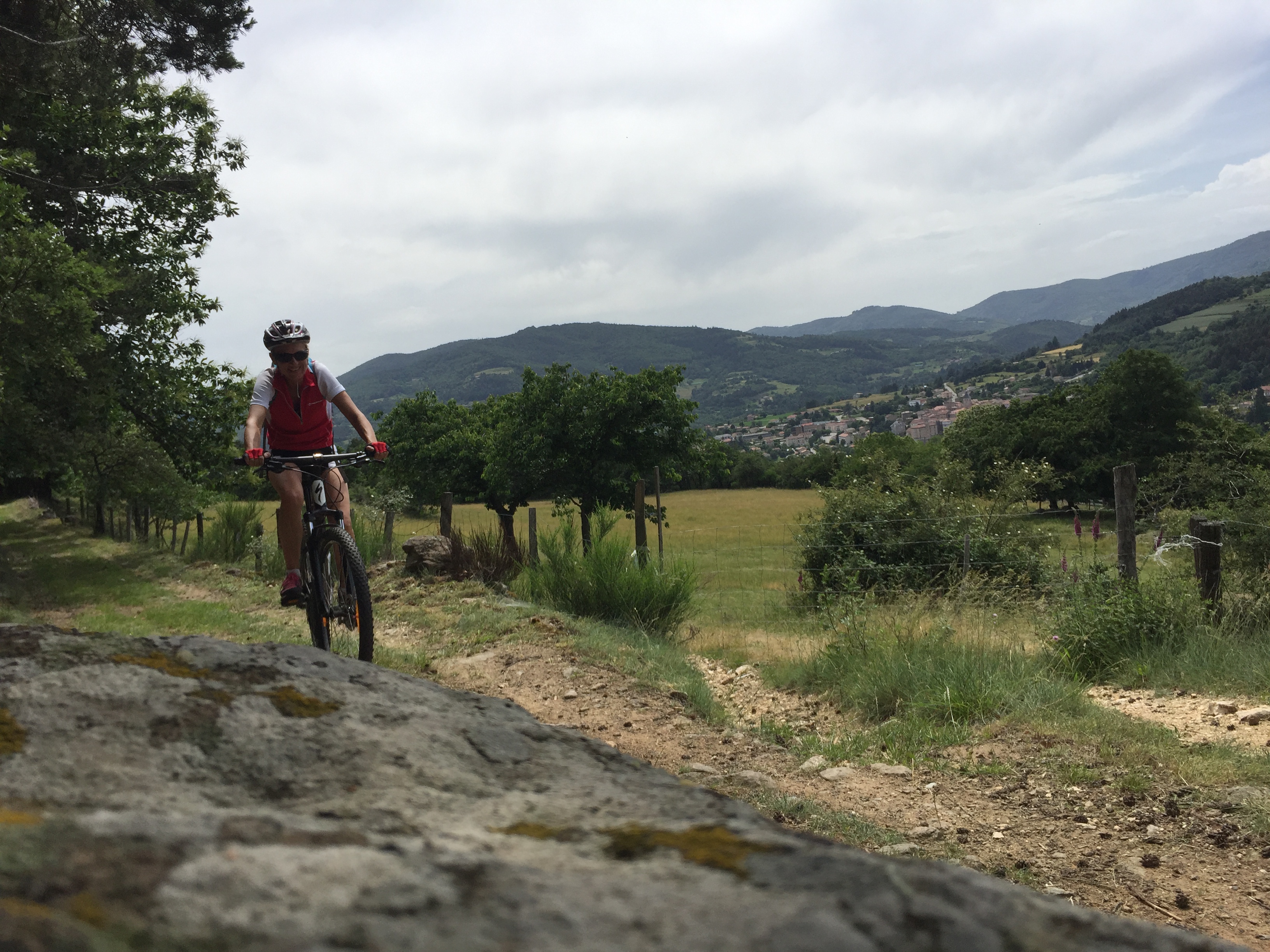
Bois Madame
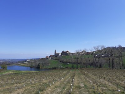
Bozas
Bois Madame
Very hard
3h30
34,1km
+1082m
-1079m
Embed this item to access it offline
8 points of interest
Village avec le château en son sein - ADSEA 
The château of Bozas
This château is made of " three wings arranged round a small inner courtyard, closed from the east side by a wall with a postern cutting through it " It was built between Xlllth and XVth century no doubt. At the end of the XVlllth century the village Marquis had an important extension added on.
Voie antique de Malaurier - Ardèche Hermitage Tourisme 
Roman way of Malaurier
A stone-paved path out in the countryside…. Quite intriguing and it makes us wonder if these paving stones have experienced the walking steps of “caligae” (Roman legionnaires’ sandals) Rather difficult nowadays to confirm if that was the case. However, the oppidum above the village of St Symphorien de Mahun and the Roman bridge ruins in Boucieu le Roi and in Tournon sur Rhône make it quite possible for it to have been a communication route across the plains of Ardèche. At that time roads were built on the smoothest terrain to make travelling easier. An example of this is the route going from Lamastre to annonay. If you close your eyes you can hear Gauls singing in the distance and you might even find some mistletoe to add to your magic potion. Luckily we are aware today that the berries are poisonous !
 Panorama
Viewing point
Splendid view of the Daronne Valley- Panorama
Viewing point
Discover here a splendid view of the Daronne and Doux valleys  Small patrimony
The cross of Montplot
Joannès Dufaud (parlarem en Vivarés edition 2004) describes it as a mountain of timber and wood stumps or quite simply a mountain where trees are logged and cut into ¾-metre lengths as in a wood yard. We can in fact observe here, that the way of working hasn’t changed much over the years. Information source : Ardèche Sports Nature.- Small patrimony
The terraces
In this area "Chalets" is the word used to describe terraces on slopes making them useable for various cultures. Most of the terraces were built in XVlllth and XlXth centuries. At that time, the population, 90% of which were farmers, was on an increase. Always looking for land to cultivate, quite simply to survive, the latter were forced to use the steep slopes. Vine growing was also on an increase during that same period and necessitated arable land. Building terraces was the answer; increasing surfaces for growing and at the same time making the slopes easier to use, enabling water retention and controlling it, keeping the soil from erosion and restoring the heat absorbed by the rock-stone during the day. Little by little the use of these "chalets" was abandoned due to various plant diseases at the end of the XlXth century, particularly Mildew and Phylloxera that destroyed whole vineyards and crippled farming. However, rural depopulation, the number of lives lost during the first World War and the mechanization of farming down in the lower plains were the main reasons for terraces being abandoned. As you stroll along you will discover a landscape shaped by these « farmer builders”. Here, amongst this stone architecture, traces are particularly visible, making it easy to imagine the magnitude of the task. - Small patrimony
Oil mill and bread oven in Chantelermuze
The rebuilding of this mill by the association Chantelermuze began in 1997 along with the village bread oven which came into being in 1999. Although recent in construction, these works remind us of the fact that during the Middle Ages people gathered together to bake their bread or grind their cereals for extracting oil. 
Vue du village - Ardèche Hermitage Tourisme Bozas
On the high plateau of Ardèche, Bozas is a lovely village full of treasures to discover. Several theories exist concerning the origin of its name. Some say it has an Occitan origin « bosa » meaning « a round shape » or perhaps « bos » meaning « wooded area » however the most likely origin would come from the first family owners of the village whose name was Boson. The first evidence of the château dates back to the Xllth century even though the remaining parts, to be seen nowadays, date back to the XVth century. There was also a small priory of the Cluny order from the Xlllth century. As well as its rich history the village offers magnificent landscapes including a view of the Mont Blanc in the distance, on a clear day. Don’t miss here the “rando croquis” walk where the whole family can enjoy the beautiful countryside round Bozas and learn some techniques for making it into a picture. So get your sketching pads and pencils ready…. !
Description
1 – Bozas Go below the church onto the route de la Calade. 1km further on continue on a path going uphill between fields towards the opposite hillside and chemin de Malaurier.
2 – Malaurier Turn right onto route de Malaurier overlooking the river Daronne valley and Saint Félicien in the distance. Further on turn left leading to the hamlet of Perdriolle. Go round the left side of the farm onto the downhill path towards Jacquillon. Carry on on the road taking you to the hamlet that then leads to the D234 further down. Turn left and go as far as the campsite Pierrageay.
3 - Pierrageai Cross the ford of the Daronne and then immediately turn right. Pass the chain of the campsite's playground and cross the campsite's green space. At the end, follow the arboretum first along the river, then go up a small path in the pines to find the road to Brintenas from above.
4 - Brintenas Poursuivez en face la route de Brintenas qui monte. Prenez à droite au sommet pour accéder au hameau de Brintenas. En haut, prenez la route d'accès aux maisons à droite le long des clotures, puis tout de suite à gauche la piste carrossable. Retombez sur la route d'accès à Marcou que vous prenez à la montée. Au carrefour, prenez à droite quelques centaines de mètres, puis à gauche une montée très technique pour aller jusqu'à Montpeyroux d'où une jolie vue se dégage sur Saint Félicien.
5 - Montpeyroux In the hamlet take the road facing you leading you to the village, to cross the D532 at the Col du Fontaye. Continue on the route de Maisonneuve opposite going behind the cheese factory. Further on bear left onto a grass track towards the hamlet Vernet. Go through the pretty hamlet with its stone buildings then onto the path above as far as the hairpin bend called Brudonnes.. Here, the sections are sometimes steep and technical sometimes more relaxing for recovery.
6 - Les Brudonnes Turn right onto the tarmac lane Vignet going up towards Montplot. To the south, on a clear day there is a beautiful view of the «3 Becs » and « Ventoux » heights. The road becomes a track when you reach Vignet taking you to the top of Montplot and its magnificent hamlet with its stone houses.
7 – Montplot Take the level track to the right. At the fork bear right into the broom shrubs. The path zigzags back towards the southern-side slope. It then becomes a road when you reach Gounon. Go down the road.
8 – Gounon At the crossroads turn right then immediately left.
9 - Les Bauds Go through the gates and along a pleasant, however occasionally technical path taking you to the village of Saint Victor. At the bottom gates, carry on along the tarmac lane opposite called la Bachole.
10 - Chemin de Croix Continue ahead into the centre of the village.
11 - Saint Victor Once in the village take the D532 to the left towards Tournon then as you leave the village go left onto the tarmac lane Dragonnet. Going up turn right onto the path that levels off and continue up and down through pretty woodland until you get to the campsite Chantelermuze.
12 - Pont de Pouyol Carry on up towards the campsite then right along the tennis courts.
13 - Les Bossons Facing you take the path leading down between fields. At the bottom turn left onto the D532 for a few hundred metres before turning right towards Les Marions. The road becomes track in the hamlet then a tarmac lane towards Laumache further on. Continue to the right.
14 – Laumache Continue ahead.
15 – Corsas Go over the crossroads.
16 – Chirol On the bend turn right onto the path going past the large barn. Further on take the route des Halemans going downhill.
17 – Bonnefont Go straight on opposite onto a mixture of small roads and paths. Turn left down towards Les Taillards Go past the farm on your left then cross the D578 below. Continue down the zigzagging track taking you to the shallow crossing in the Daronne Gorges before going back up towards the village of Colombier le Vieux. Go across the large square then left onto the road starting just below the townhall. At the bottom, just after the bridge, turn right uphill along the reservoir then onto the technical section that first distances then comes back into the glen. Before entering the hamlet of Espielière, to the left of the main road, go up the lane leading towards the hamlet. Follow the D234 for a few metres before taking the path to the left going along the big surrounding wall of Boze. Go through the glen and up a grass path through fields. When you reach Les Champs follow the road leading into the hamlet and continue ahead between cultures.
18 - Sapet Cross the D578 on the right and go up the path facing you between fields. At the top turn right onto a tarmac lane between vineyards and head back to the village of Bozas.
- Departure : Bozas - Church square
- Arrival : Bozas - Church square
- Towns crossed : Bozas, Saint-Félicien, Saint-Victor, Vaudevant, and Colombier-le-Vieux
Altimetric profile
Information desks

6, place du 8 mai 1945 - BP 70019, 26601 Tain l'Hermitage
Access and parking
Follow the D234 from Saint Félicien then the D278 towards Lamastre then the D272a as far as the village of Bozas
Parking :
Church square
Accessibility
- Emergency number :
- 114
More information
Report a problem or an error
If you have found an error on this page or if you have noticed any problems during your hike, please report them to us here: