From the Rhône to the Chambarans

Saint-Donat-sur-l'Herbasse
From the Rhône to the Chambarans
Hard
5h
96,4km
+1443m
-1444m
Embed this item to access it offline
5 points of interest
 Flora
FloraThe forest of Chambaran
Classified amongst the national natural heritage the plateau des Chambarans is a vast clayey zone and a genuine water reservoir for the surrounding land. This forest was the mark of human settlement during the Antiquity era as we can find traces of an oppidum. From XlVth to XVlllth centuries numerous glass factories were established in the area finding the wood needed there to fire the ovens. During the second world war this forest was used by the Maquis members as a refuge and as a base behind the lines for the Vercors Resistance. Nowadays the plateau of Chambaran is a nature park stretching over 240 enclosed hectares, with hilly forests and ponds welcoming a rich fauna (various deer species, wild boar, rodents, birds…) and is also a military base.
Le Grand Serre
Le Grand Serre is a medieval village perched on the top of a hill overlooking two rivers. The market hall built in the Middle Ages, its church dating back to the Xlllth century, its ramparts, narrow streets, stone and molasse house fronts are all evidence of a long history. Information source : Townhall of le Grand Serre
The Palais Idéal in Hauterives
Born in 1836, Ferdinand Cheval was 43 when he started building this « Temple of nature » in the village of Hauterives using various materials and objects found on his postman rounds. Stones, pebbles, shells, fossils along with prefabricated concrete pieces. The Palais Idéal was classified as a Historical Monument in 1969 with the help of André Malraux , a French minister at the time and who considered the construction to be “the only example of architectural primitive art”.
Saint Vallier sur Rhône
To the south of the town of Vienne as you come to the « défilé » (winding flow of the Rhône) going as far as Tain l’Hermitage, you can see the town of Saint Vallier and its hillside “Montrebut” along the left bank of the river. The river Galaure joins the Rhône at this point. The town has always been a place for exchange, trade and craft industries as great routes have always passed through such as the Roman way « Agrippa », the Royal road and nowadays the main, very busy National 7 road.
L'étang du Mouchet - Sophie Forot  Lake
LakeMouchet pond and its aquatic flora
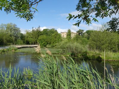
In the the village of Chavannes, downstream from the source of the river Veaune lies Mouchet pond just the same as when it was first built in 1750 apart from the reconstruction of its dam carried away during floods. Used as a fish farm for centuries, remains have been found and preserved carefully including the breeding tank situated at the top of the farm buildings. Covered in water lilies, a beautiful aquatic plant bed can be seen when the floral tips poke their face through the water surface. Vital for aquatic life these plants are in danger cohabitating with herbiverous fish. The property belongs to the village of Chavannes and was classified in 2010 as being Espace Naturel Sensible (ENS) sensitive nature preserve by the county of Drôme. In 2014, an educational and tourist trail was introduced and attracts many walkers and nature lovers.
Description
1 - 0 km
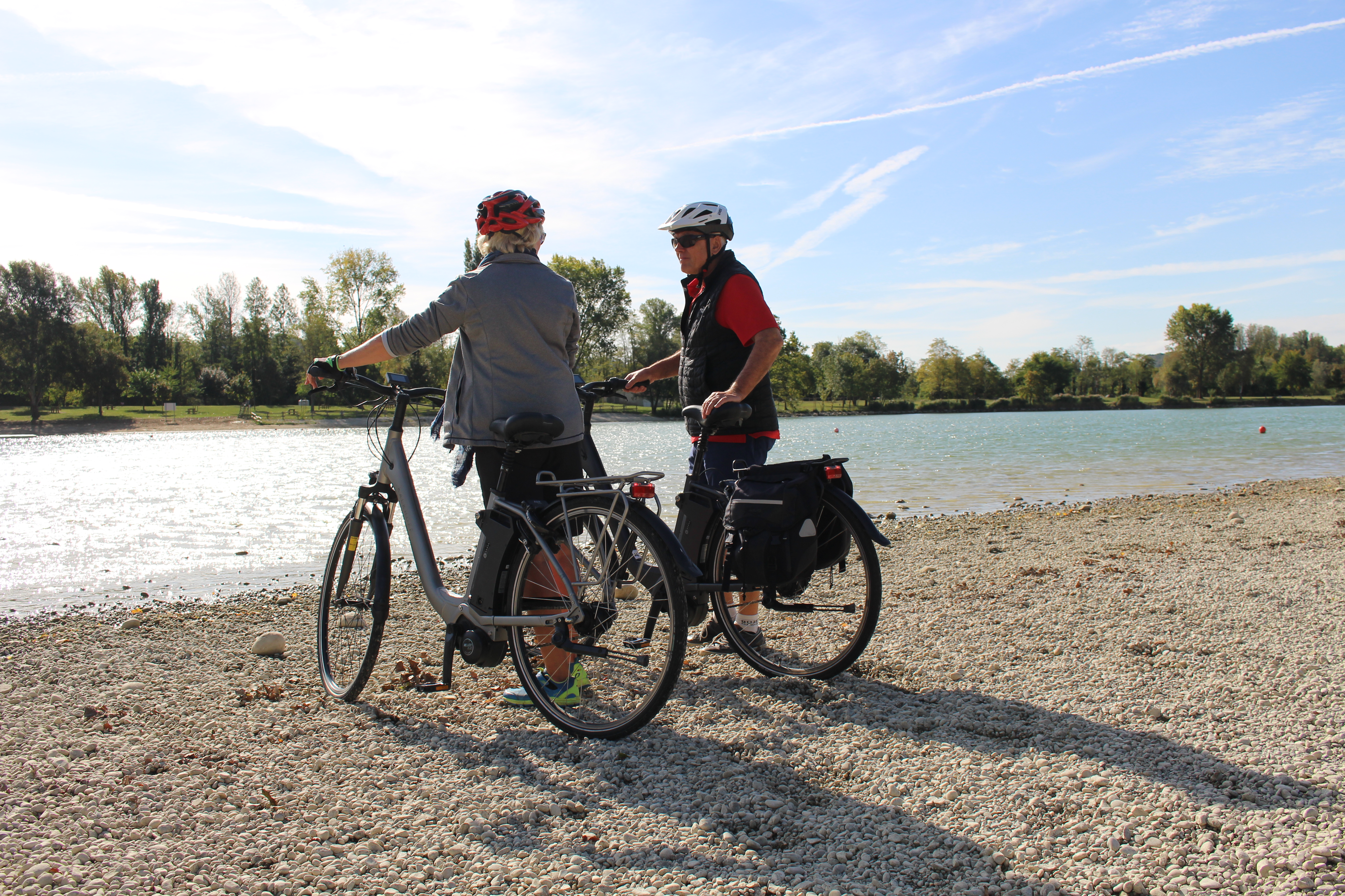
The route starts along the lake of Champos heading towards the forest of Chambarans with its abundance of different tree species, fauna and wetland.
2 - 30 km
After the village of Roybon in Isère, the trail overlooks the Galaure valley arriving in Hauterives where you can visit the famous Palais Idéal, a masterpiece of art brut.
3 - 75 km
You will then head down to Saint Vallier and on the way enjoy magnificent views over the hills of Drôme and Vivarais. From Saint Vallier the circuit carries on along an alternative route to the ViaRhôna cycling track, up and down the gentle hills of Drôme des Collines with a view of the Vercors mountains and the Rhône river.
4 - 89 km
After Chantemerle les Blés, with its remarkable Roman church, you then head down towards the wide stretches of countryside of Herbasse and its sandy landscapes.
- Departure : Saint Donat sur l'Herbasse - Ulèzes sports complex
- Arrival : Saint Donat sur l'Herbasse - Ulèzes sports complex
- Towns crossed : Saint-Donat-sur-l'Herbasse, Charmes-sur-l'Herbasse, Montrigaud, Hauterives, Saint-Uze, Chantemerle-les-Blés, Mercurol-Veaunes, Chavannes, and Marsaz
Altimetric profile
Information desks
6, place du 8 mai 1945 - BP 70019, 26601 Tain l'Hermitage
Access and parking
Follow the D67 from Tain l'hermitage as far as Saint Donat sur l'Herbasse
Parking :
Ulèzes sports complex
Accessibility
- Emergency number :
- 114
Report a problem or an error
If you have found an error on this page or if you have noticed any problems during your hike, please report them to us here:

