The king of rivers

Glun
The king of rivers
Medium
3h
46,9km
+677m
-677m
Embed this item to access it offline
2 points of interest
 Lake
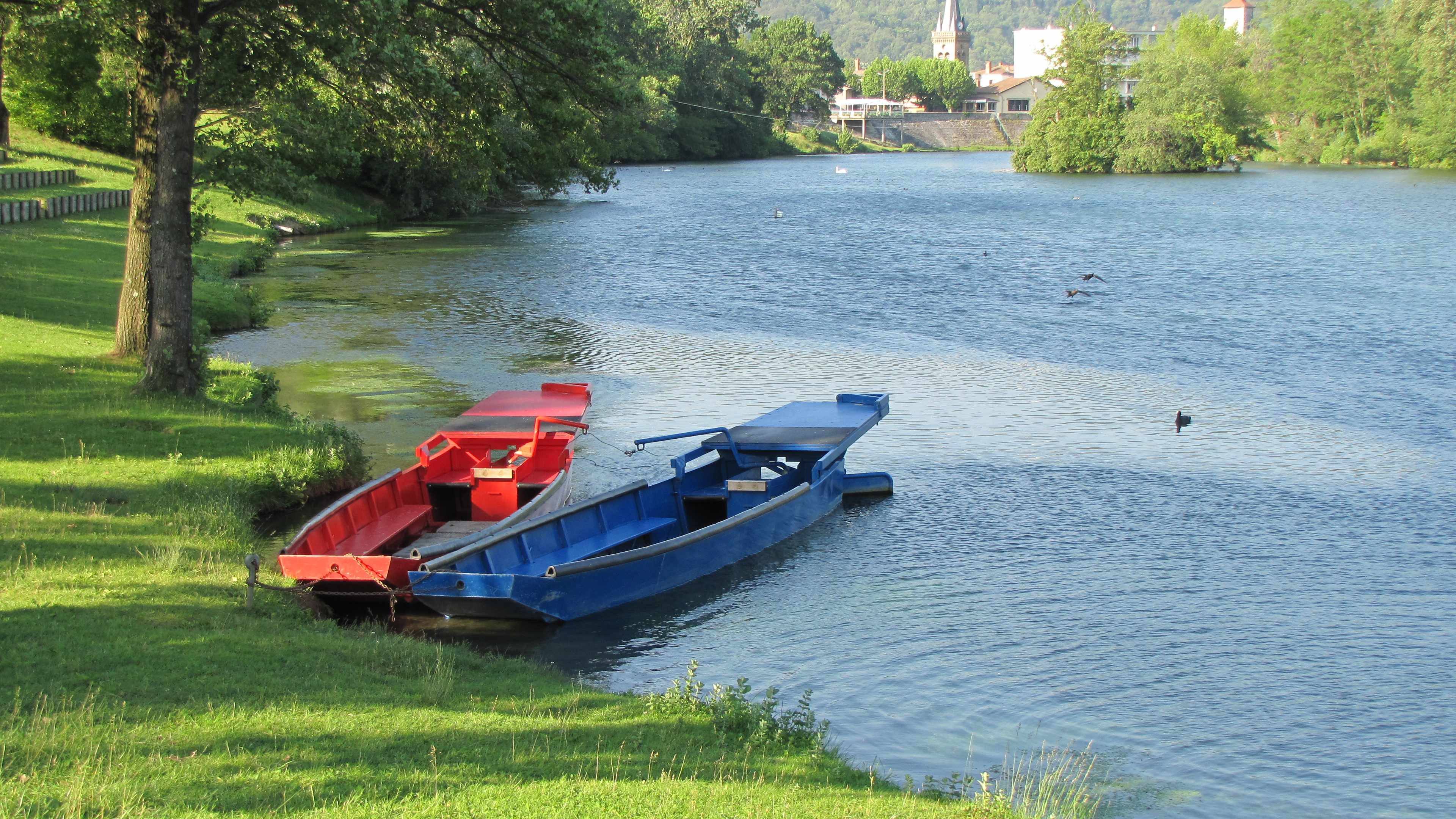
LakeMusard lake
The old “Golfe des Musards” is now a lake ideal for taking a stroll. A tour round offers visitors a way to discover all about the local fauna (on information boards) and places for relaxing (picnic areas, playground). Activities available : fishing, walking, jousting (enquire for the dates). Bathing is not allowed. The lake is situated not far from the mooring post at La Roche de Glun on the neighbouring Rhône river. Information source : La Drôme Tourisme Panorama
Viewing point
Splendid views of the Ardèche hills
Description
Go along the ViaRhôna to Tournon-sur-Rhône.
1. 7,8 km Cross the footbridge onto the green route “Chabalet” heading towards Valence.
2. 16,4 km Get back onto the ViaRhôna heading to Tournon and cross over the river Rhône and its canal again.
3. 19,1 km Continue straight on the main road.
4. 20 km Turn left signed up Saint-Péray.
5. 21,3 km Turn right signed up Saint-Romain-de-Lerps.
6. 26,3 km Turn right at Combes onto “route de Combes”.
7. 29,1 km Turn right at the stop sign, continue to Pic de Lerps viewpoint then retrace your steps.
7. 30 km Back at the crossroads, follow signs to Saint-Sylvestre.
8. 31,4 km Turn right onto “route de Plats” to the village.
9. 35,9 km Turn right after the church onto the main road to Mauves.
10. 43,2 km Turn right at the stop sign leading into Mauves then continue through the village.
11. 45,3 km Turn left just before the railway line then return to Glun.
- Departure : Glun – Bassin des Musards
- Arrival : Glun – Bassin des Musards
- Towns crossed : Glun, Mauves, Tournon-sur-Rhône, Tain-l'Hermitage, Mercurol-Veaunes, La Roche-de-Glun, and Plats
Altimetric profile
Information desks
6, place du 8 mai 1945 - BP 70019, 26601 Tain l'Hermitage
Access and parking
Parking :
Bassin des Musards
Report a problem or an error
If you have found an error on this page or if you have noticed any problems during your hike, please report them to us here:

