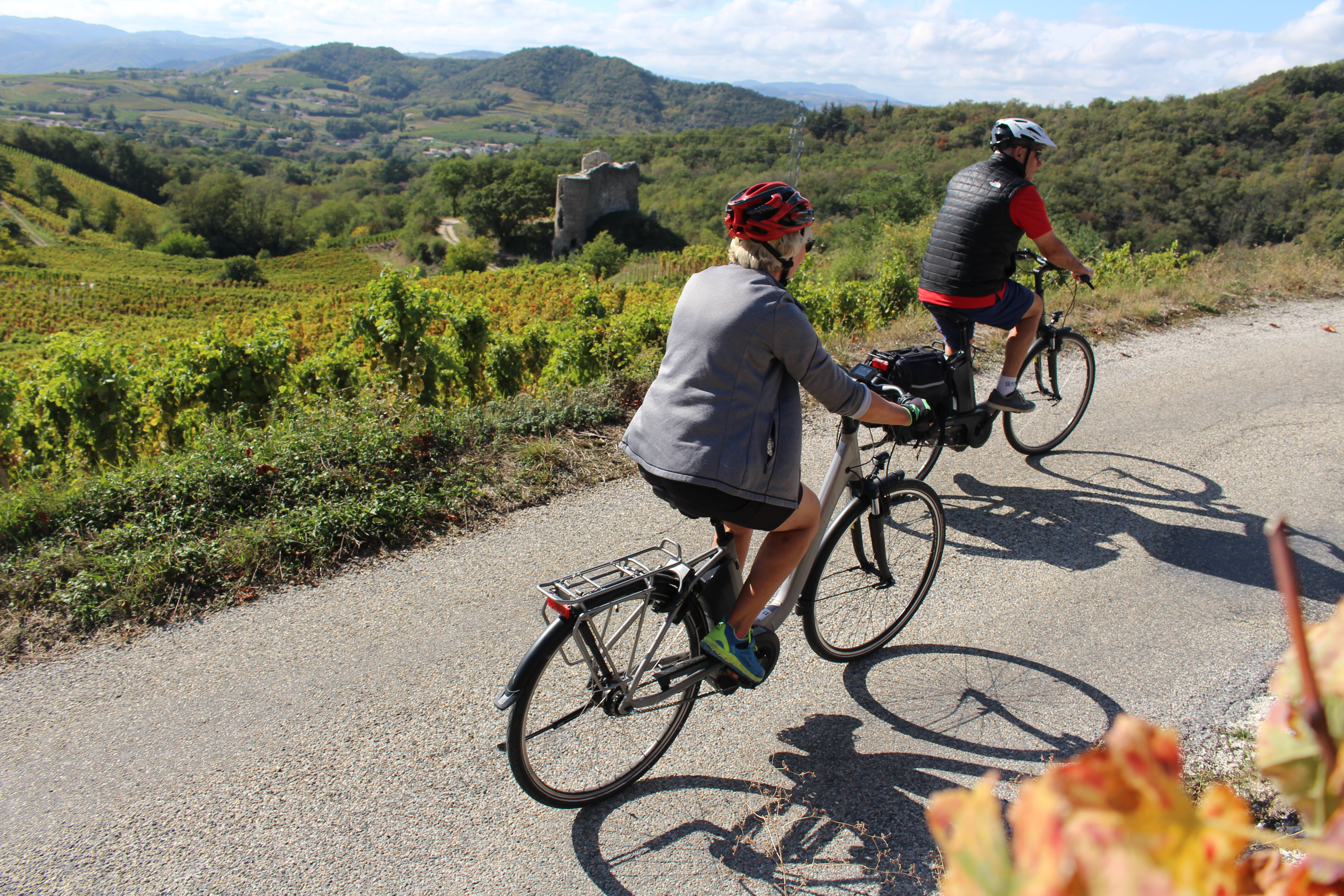
The Planards

Crozes-Hermitage
The Planards
Medium
2h
22,6km
+583m
-581m
Embed this item to access it offline
3 points of interest
 Panorama
Viewing point
Viewing point
 Small patrimony
Description
From the church turn right onto the road leading to the Rhône Valley.
1. 1 km Turn right onto the small road straight after the bridge under the railway line.
2. 2,4 km At the stop sign turn right to enter Gervans.
3. 2,8 km Turn right towards “route des belvédères”.
4. 5,8 km At “les Planards” turn right and head for “belvederes des Méjeans and Pierre Aiguille”.
5. 6,2 km Turn right at the giveway sign.
6. 6,4 km Turn right onto “route des vins”.
7. 7,3 km Turn left at the stop sign onto “route des Méjeans”.
8. 8,3 km Turn right onto “route d’Erôme”.
9. 8,7 km Turn right at the stop sign towards “Larnage”.
10. 10,9 km Turn right onto “route des Côtes-de-Meyer”.
11. 11,3 km Turn right onto “route des Charrets”.
12. 12,6 km Turn left onto the tourist route.
13. 12,9 km Turn left towards the “belvedere de Pierre Aiguille” as far as Crozes.
14. 17,1 km Turn left when arriving in Crozes onto the “route du Creux-de- Saillat”.
15. 17,8 km Turn right onto “chemin de l’homme”.
16. 18,2 km Turn right onto “chemin de Fougearets” continue to the “belvedere de Pierre Aiguille”.
17. 19,9 km Continue to Hermitage chapel (road then path).
18. 20,6 km Walk down the pebbled path below the chapel then turn left onto the side-path further on becoming a road.
19. 21,6 km Return to Crozes.
- Departure : Crozes Hermitage – In front of the church
- Arrival : Crozes Hermitage – In front of the church
- Towns crossed : Crozes-Hermitage, Gervans, Érôme, Larnage, Chantemerle-les-Blés, and Tain-l'Hermitage
Altimetric profile
Information desks
6, place du 8 mai 1945 - BP 70019, 26601 Tain l'Hermitage
Access and parking
Parking :
In front of the church
Report a problem or an error
If you have found an error on this page or if you have noticed any problems during your hike, please report them to us here:

