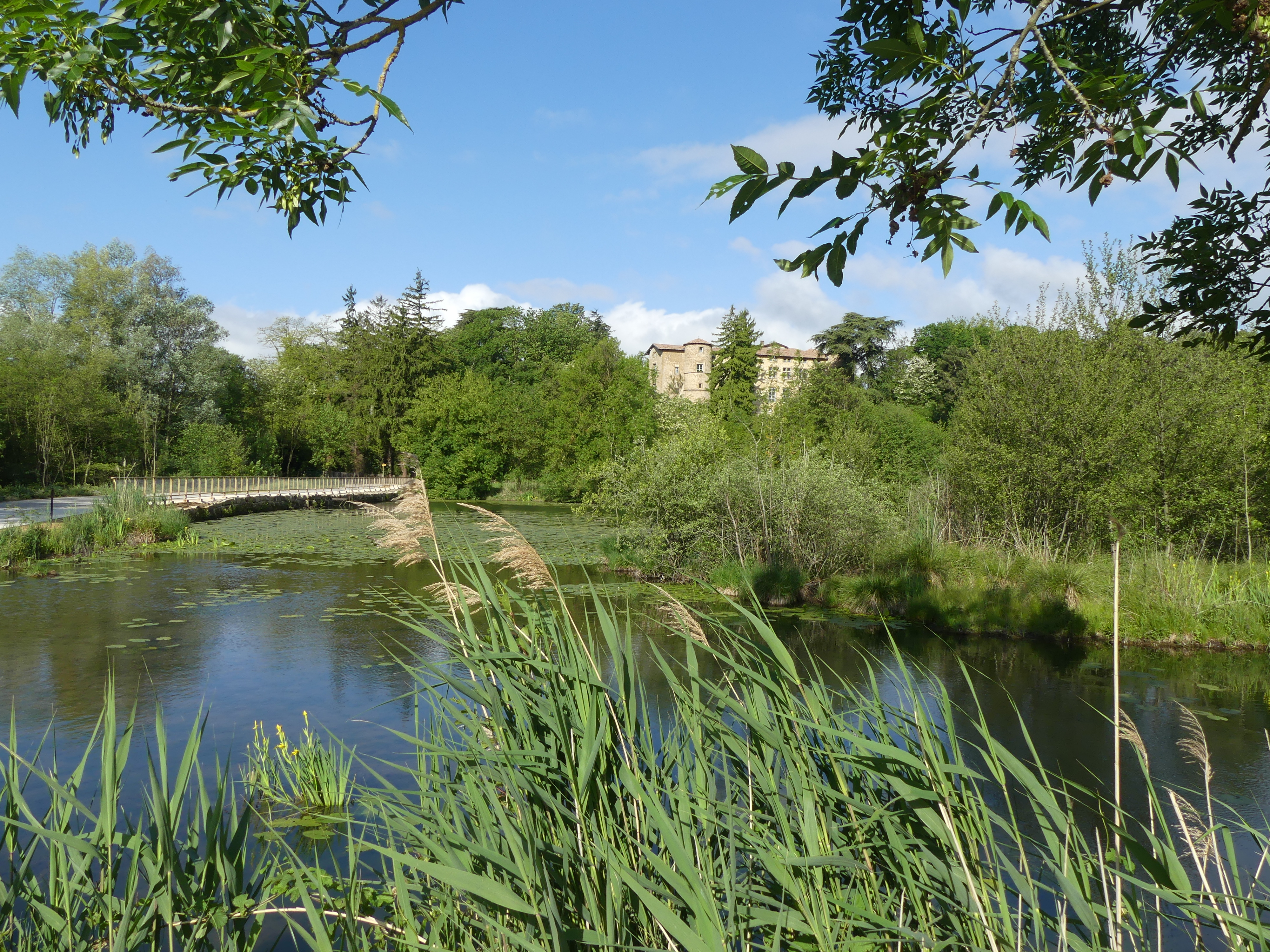
Mouchet pond

Chantemerle-les-Blés
Mouchet pond
Easy
1h30
18,9km
+229m
-230m
Embed this item to access it offline
Description
Opposite the townhall follow the sign to Claveyson.
1. 4,5 km Turn right onto “route de la plaine”.
2. 4,8 km At the next crossroads turn right onto the main road.
3. 6,5 km Turn right onto “chemin du Bois de l’âne” and pass through Eriens.
4. 8,7 km Turn right “route du Bois de l’âne”.
5. 9,5 km Turn left at the giveway sign onto the main road.
6. 10,6 km Head towards the pond then retrace your steps.
7. 12 km Continue on “chemin de Conring” then “route des Gerles”.
8. 13,4 km Turn right “chemin du château d’eau”.
9. 14,3 km Turn left at the T junction, at the corner of “chemin du Dournon”.
10. 16,6 km Turn right at the stop sign onto “route des Plots”.
11. 18,9 km Turn right at the giveway sign onto the main road and continue to Chantemerle.
- Departure : Chantemerle les Blés – Opposite the townhall
- Arrival : Chantemerle les Blés – Opposite the townhall
- Towns crossed : Chantemerle-les-Blés, Bren, Marsaz, Chavannes, and Mercurol-Veaunes
Altimetric profile
Information desks
6, place du 8 mai 1945 - BP 70019, 26601 Tain l'Hermitage
Access and parking
Parking :
Opposite the townhall
Report a problem or an error
If you have found an error on this page or if you have noticed any problems during your hike, please report them to us here:

