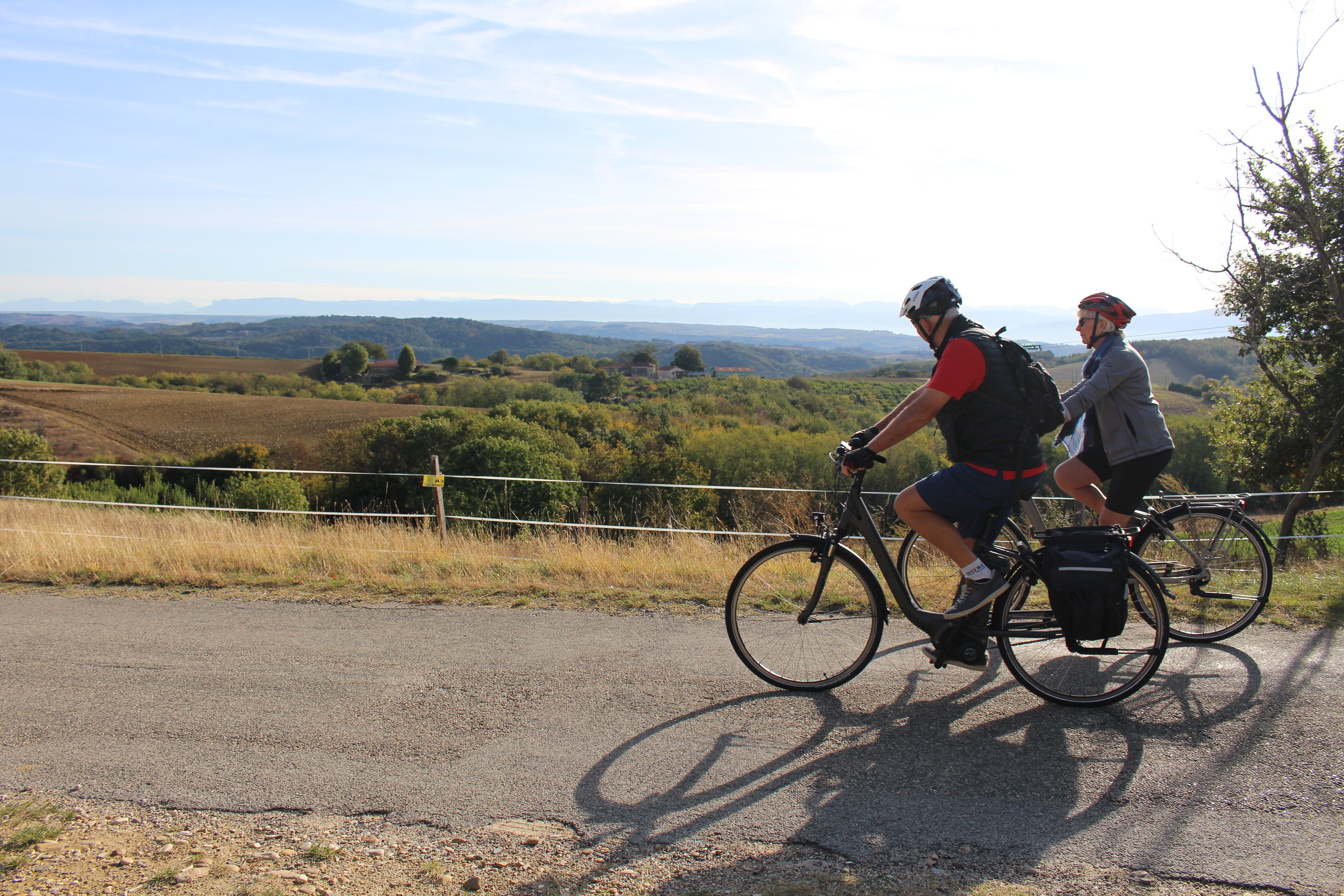
Chalon Valley
Arthémonay
Chalon Valley
2h
30,9km
+667m
-665m
Embed this item to access it offline
1 point of interest
Description
From the village take the D583 to Margès.
1 - 1,8 km In the village turn right onto the D538 “route d’Hauterives”.
2 - 3,3 km At the roundabout turn right onto the D67 towards Crépol.
3 - 5,1 km Turn right onto “route des Combes”.
4 - 7,3 km Continue on the “route des Biards”.
5 - 8,1 km Turn right onto “route des Crêtes”.
6 - 9,9 km Leave “route des crêtes” turning left onto the small road.
7 - 11 km In Reculais turn left onto the D155 and continue to Le Chalon.
8 - 14,3 km In the village turn right onto the D867 to Saint-Michel-de-Savasse.
9 - 18,3 km When you get to St-Michel turn right onto the D52 signed up Génissieux.
10 - 20,4 km Turn left onto “route de Desviage” and continue to Geyssans.
11 - 23,4 km Go through the village and follow the signs “Saint-Ange” to the hilltop church.
12 - 26,1 km Continue on the road to St-Ange.
13 - 27,9 km Turn right towards “gué de Mortevieille”.
14 - 28,2 km Turn left onto “route de l’Arberge”.
15 - 28,6 km Turn first right returning to Arthémonay.
- Departure : Arthemonay – In front of the church
- Arrival : Arthemonay – In front of the church
- Towns crossed : Arthémonay, Margès, Charmes-sur-l'Herbasse, and Peyrins
Altimetric profile
Information desks

6, place du 8 mai 1945 - BP 70019, 26601 Tain l'Hermitage
Access and parking
Parking :
In front of the church
More information
Report a problem or an error
If you have found an error on this page or if you have noticed any problems during your hike, please report them to us here: