A water country
Bren
A water country
2h30
31,5km
+501m
-507m
Embed this item to access it offline
2 points of interest
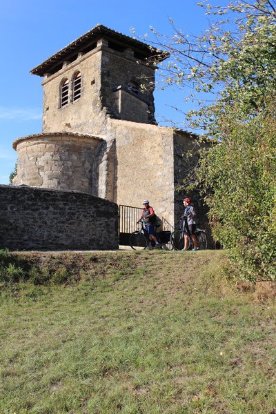
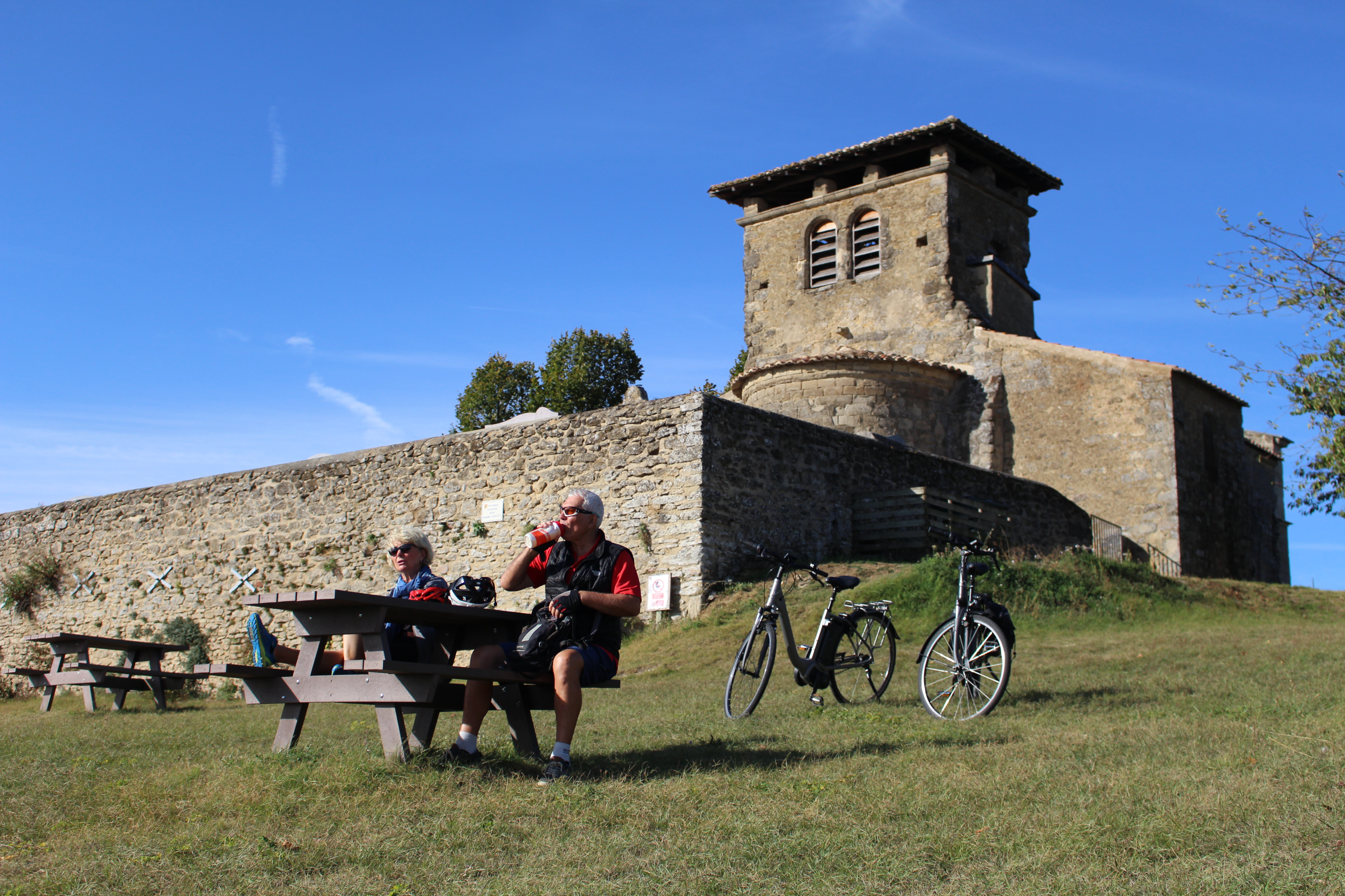
Vue d'ensemble de l'église - Ardèche Hermitage Tourisme 

 Flora
Flora
Description
From the church car park follow the road going up to Saint-Andéol.
1. 3,7 km
On entering Saint-Andéol turn right to Saint-Donat.
2. 5 km
On the main road turn right towards Saint-Donat.
3. 10,3 km
In Saint-Donat follow the signs to Saint-Vallier.
4. 14,2 km
As you enter Bren turn left to Marsaz.
5. 16,2 km
In Marsaz turn right onto the D114 and straight on for 4km.
6. 20,3 km
Take the small road on the left (careful! No signs).
7. 20,6 km
Turn left onto the main road opposite “chemin Lafay”.
8. 21,1 km
Take the first road on the right “chemin de Bornarin”.
9. 23,1 km
Turn right after passing the motorway.
10. 25 km
Turn right onto “chemin de Lafay”.
11. 26,2 km
Turn left onto the road “Pied Buisson”.
12. 27,1 km
Turn right onto the main road taking you back to Bren.
- Departure : Bren – Church square
- Arrival : Bren – Church square
- Towns crossed : Bren, Ratières, Saint-Donat-sur-l'Herbasse, Marsaz, and Chantemerle-les-Blés
Altimetric profile
Information desks

6, place du 8 mai 1945 - BP 70019, 26601 Tain l'Hermitage
Access and parking
Parking :
Church square
More information
Report a problem or an error
If you have found an error on this page or if you have noticed any problems during your hike, please report them to us here: