Rambling through lakes and woods
1 point of interest
 Flora
FloraSizay woodland
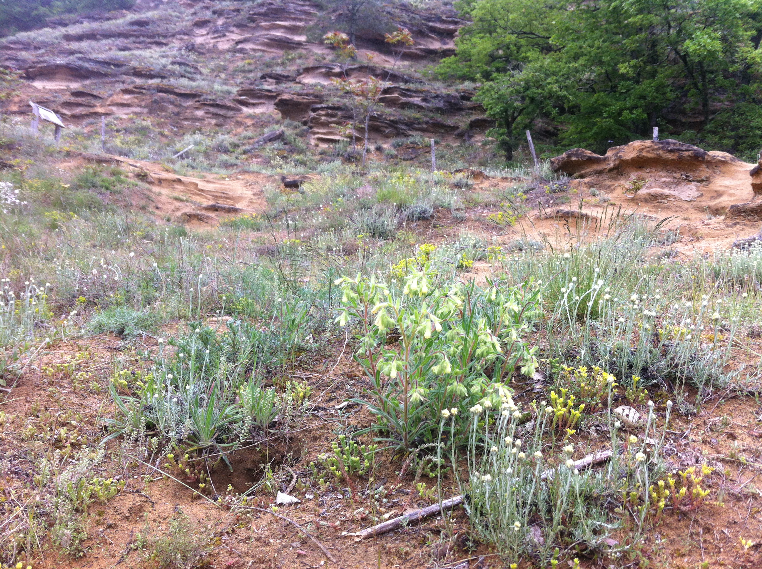
The communal hardwood forest of Saint Donat covers 120 hectares. Several walking trails, a car park with information boards at its southern entrance along with it being only 10km from the nearest town, all make it a popular place for a day out.
Description
1 - Pont de Chabran - 220 m
Starting from the car park go down under the bridge then onto the path along the river Herbasse towards Lac de Champos. Once there go past the campsite and round the lake on the left side. Follow the road
2 - Champos - 240 m
Turn left going under the road then after the tunnel go round the field on the right side and bear right towards the roches sableuses (smalt) Go along the wire fencing; the path goes up into woodland for about 800m then emerges onto the road. Carry on along the road for about 300m and in the distance, admire the view of the Vercors mountains. When you get to the equestrian centre turn left.
3 - Les Pinates - 336 m Turn left.
4 - Balayer - 330 m
Continue ahead towards the Bois de Sizy then down the path on your right into woodland.
5 - Combe du Frêne - 300 m
Turn left onto the path taking you to Combe du Loup. Follow the main sheltered, sandy path for about 3km (careful, the going is quite rough in some places)
6 - Combe du Loup - 260 m
7 - Combe Oternaud - 255 m
8 - Les Bâties - 226 m
The path leaves Combe Oternaud then carries on along a gravel road for 1km before reaching the car park.
- Departure : Saint Donat sur l'Herbasse - Pont de Chabran ( 2km on the D67)
- Arrival : Saint Donat sur l'Herbasse - Pont de Chabran ( 2km on the D67)
- Towns crossed : Saint-Donat-sur-l'Herbasse, Charmes-sur-l'Herbasse, and Margès
Altimetric profile
Information desks
6, place du 8 mai 1945 - BP 70019, 26601 Tain l'Hermitage
Transport
Bus route N° 8 Valence - Saint Donat sur l'Herbasse
Access and parking
Follow the D532 from Tain l'Hermitage towards Romans sur Isère then the D67 as far as Saint Donat sur l'Herbasse
Parking :
Accessibility
- Accessibility level :
- Emergency number :
- 114
Report a problem or an error
If you have found an error on this page or if you have noticed any problems during your hike, please report them to us here:

