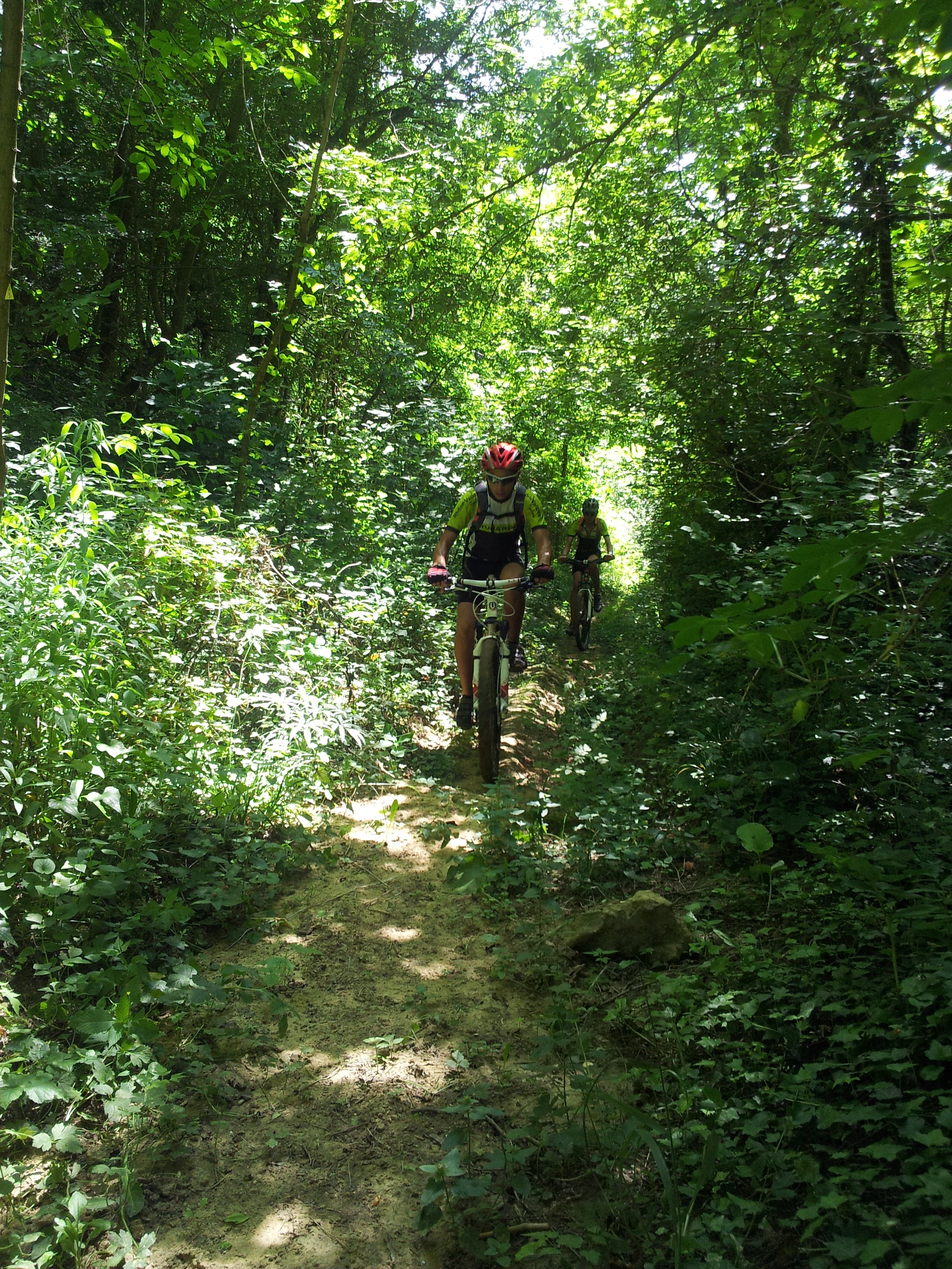
La combe Oternaud et le Bois de Sizay

Saint-Donat-sur-l'Herbasse
La combe Oternaud et le Bois de Sizay
Easy
2h18
15,3km
+357m
-363m
Embed this item to access it offline
1 point of interest
 Flora
FloraSizay woodland
The communal hardwood forest of Saint Donat covers 120 hectares. Several walking trails, a car park with information boards at its southern entrance along with it being only 10km from the nearest town, all make it a popular place for a day out.
Description
1 - Pont de Chabran - 220 m
The trail starts on the gravel path leaving the car park.
2 - Les Bâties - 226 m
Continue ahead uphill then turn right. When you reach the road carry on to Balayer.
3 - Balayer - 330 m
Turn left onto the road becoming a track further on.
4 - Combe du Frêne - 300 m
Turn left onto an impressive downhill slope.
5 - Combe du Loup - 260 m
Continue ahead towards la Combe Oternaud.
6 - Combe Oternaud - 255 m
Turn right and head towards the Bois de Sizay.
7 - Bois de Sizay - 270 m
Cross the road : Careful traffic ! Go onto the small track leading uphill.
8 - Combe de Sizay - 325 m
Go right up the slope.
9 - Le Nordmann - 340 m
Continue as far as la Fontaine du Loup.
10 - Fontaine du Loup - 355 m
Turn left downhill to get back onto the main track.
11 - La Limite - 330 m
Turn left onto the track.
12 - Gros Chêne - 345 m
Carry on along the track
13 - Les Fauries - 320 m
Turn right until you reach the road a little further on. Go down towards the hamlet. Go through then take the path on the left. Continue through woodland then between fields. When you reach the road turn right : Careful traffic ! Turn first left. Turn right and go through the housing estate. When you get to the end turn left. At the top turn left and follow the fencing down. Continue through woodland until you reach the road. Turn left onto the road : Careful traffic ! Head back to the starting point at the car park.
- Departure : Saint Donat sur l'Herbasse - Pont de Chabran (2km away on the D67)
- Arrival : Saint Donat sur l'Herbasse - Pont de Chabran (2km away on the D67)
- Towns crossed : Saint-Donat-sur-l'Herbasse, Margès, Charmes-sur-l'Herbasse, and Ratières
Altimetric profile
Information desks
6, place du 8 mai 1945 - BP 70019, 26601 Tain l'Hermitage
Transport
Bus route N° 8 Valence - Saint Donat sur l'Herbasse
Access and parking
Follow the D532 from Tain l'Hermitage towards Romans sur Isère then the D67 to Saint Donat sur l'Herbasse
Parking :
Pont de Chabran (2km from Saint Donat on the D67)
Accessibility
- Emergency number :
- 114
Report a problem or an error
If you have found an error on this page or if you have noticed any problems during your hike, please report them to us here:

