The lake of Meinettes

Cheminas
The lake of Meinettes
Medium
3h
11,2km
+226m
-227m
Embed this item to access it offline
4 points of interest
 Panorama
Viewing point
Views of the Montbard hill in the foreground and the town of Annonay and the Pilat mountains further back
The chapel in Ceintres
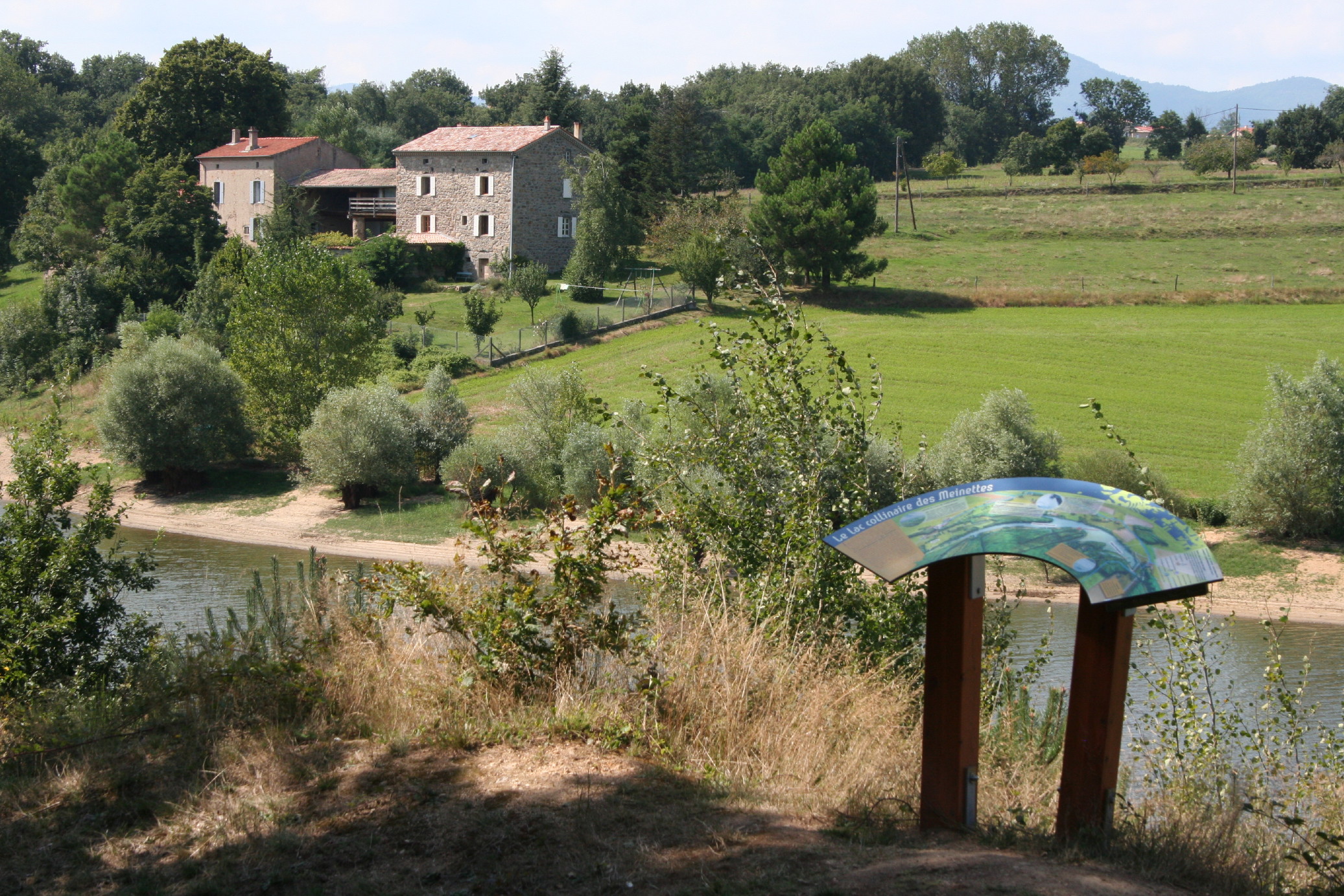
Church of one of the old parishes that Cheminas is part of today, it was a stopping place of worship for pilgrims as from the Xlth century. Closeby is the lake of Meinettes a hillside reservoir for the irrigation of surrounding farming land. The richness of the soil in the Ardèche hills is ideal for cereal farming and the top plateau has become a genuine breadbasket. However, the cracks in the granitic rock swallowed the rainwater before it had time to be absorbed by the ground so a way to retain this water became necessary hence the construction of the lake. Don’t miss a walk round the latter with information boards telling you all about the fauna and flora of the area. Panorama
Viewing point
Viewing point overlooking the village of Saint Jeure d’Ay
Panneau d'interprétation au bord du lac - Ardèche Hermitage Tourisme  Lake
LakeThe lake of Meinettes
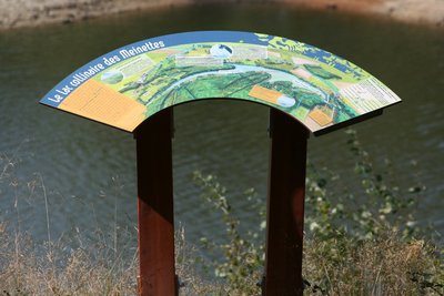
The 80s was a decade during which arboriculture developed intensely and the diversifying of production also : cherry, apricot, peach. Developing an important rrigation system became therefore a necessity. The Meinettes lake is an artificial hillside catchment. A compact earth dyke shuts off the river Ozon enabling a large volume of water to be stored coming from the water running off a surface of 11km2 of catchment area. As well as the construction of the dam, an important irrigation system was installed intended for supplying water to 300 hectares of farming land. A pumping station is used for extracting the water and directing it into the system. A 73-kilometre pipe network supplies 250 farms with water. You can find more information on the viewing point board on the path round the lake.
Description
1 - Cheminas - 462 m Follow Ceintres 2.4 km Sècheras 3 km
Follow the small road to the left as you leave the village as far as Railles.
2 - Les Railles - 453 m Follow Ceintres 1.6 km Saint Jeure d'Ay 8.7 km
Follow the grass path through fields then go downhill through undergrowth and across the pretty little stream. Continue uphill through acacia trees keeping to the main path until you come out of the wood to the plateau. The main path veers to the right as you turn left onto the grass track taking you to the hamlet Ceintres
3 - Ceintres - 430 m Follow Cheminas 6.8 km
At the following junction turn right towards ‘sous Ceintres’. On the bend take the path going straight down through fields. The path emerges into a small wood then goes to the edge of the lac des Meinettes. Turn left and go round the lake on the narrow but very pleasant track.
4 – Misery
Follow the stream Ozon as it leaves the lake leading to the D17. Turn left and go along the road for a few hundred metres before turning left into l’impasse du pont. When you get to the houses turn right onto the grass path. Go past a sheep enclosure and down into the glen. Over the other side a track takes you up to the hamlet Misery. Follow the small road for about 800m then cross over onto another small road on the left. Take the path on the right going between fields coming out at Fraysse. Go opposite onto the small lane leading to the main road. Turn left on the main road and carry on for a few hundred metres. Turn right and head for the hamlet Pechiot. Continue on the path going down through fields then turn right onto the small lane taking you to Collet.
5 - Collet - 461 m Follow Cheminas 1.6 km
Keep to the main downhill path until you get to the woodland then continue on the small road to the left taking you back to the village.
- Departure : Cheminas - Church square
- Arrival : Cheminas - Church square
- Towns crossed : Cheminas, Saint-Victor, and Étables
Altimetric profile
Information desks
6, place du 8 mai 1945 - BP 70019, 26601 Tain l'Hermitage
Transport
Bus route N° 11 Tournon sur Rhône - Saint Félicien
Access and parking
Follow the D86 from tournon sur Rhône to Vion then the D17 to Cheminas via Sècheras
Parking :
Church square
Report a problem or an error
If you have found an error on this page or if you have noticed any problems during your hike, please report them to us here:

