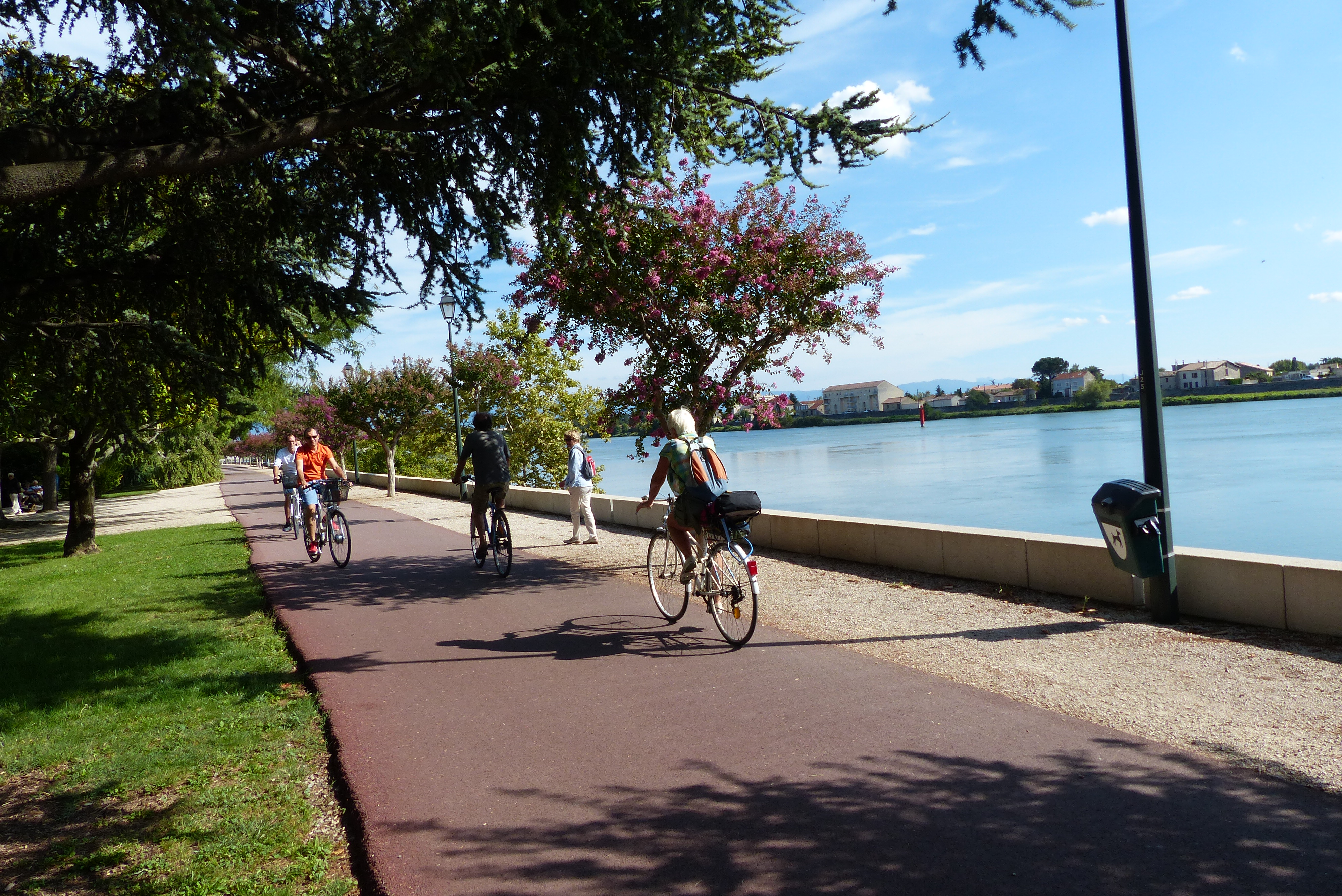
Go with the flow of the Rhône

Tournon-sur-Rhône
Go with the flow of the Rhône
Very easy
2h
20,6km
+98m
-98m
Embed this item to access it offline
Description
Head south on the ViaRhona cycling track along the river and cross over on the footbridge.
1 – 0.7 km Follow the cycling trail signs taking you to the edge of the river then go onto the ‘voie verte’ called Chabelet along the Rhône joining up with the ViaRhôna again further down.
2 - 9 km Follow the cycling track back up towards Tournon sur Rhône and the starting point.
1 – 0.7 km Follow the cycling trail signs taking you to the edge of the river then go onto the ‘voie verte’ called Chabelet along the Rhône joining up with the ViaRhôna again further down.
2 - 9 km Follow the cycling track back up towards Tournon sur Rhône and the starting point.
- Departure : Tournon sur Rhône -Quai Farconnet
- Arrival : Tournon sur Rhône -Quai Farconnet
- Towns crossed : Tournon-sur-Rhône, Tain-l'Hermitage, Mercurol-Veaunes, La Roche-de-Glun, Glun, and Mauves
Altimetric profile
Information desks
6, place du 8 mai 1945 - BP 70019, 26601 Tain l'Hermitage
Access and parking
Follow the N7 from Valence towards Lyon. At Tain l'Hermitage turn left onto the D95 to Tournon sur Rhône.
Parking :
Quai Farconnet
Accessibility
- Emergency number :
- 114
Report a problem or an error
If you have found an error on this page or if you have noticed any problems during your hike, please report them to us here:

