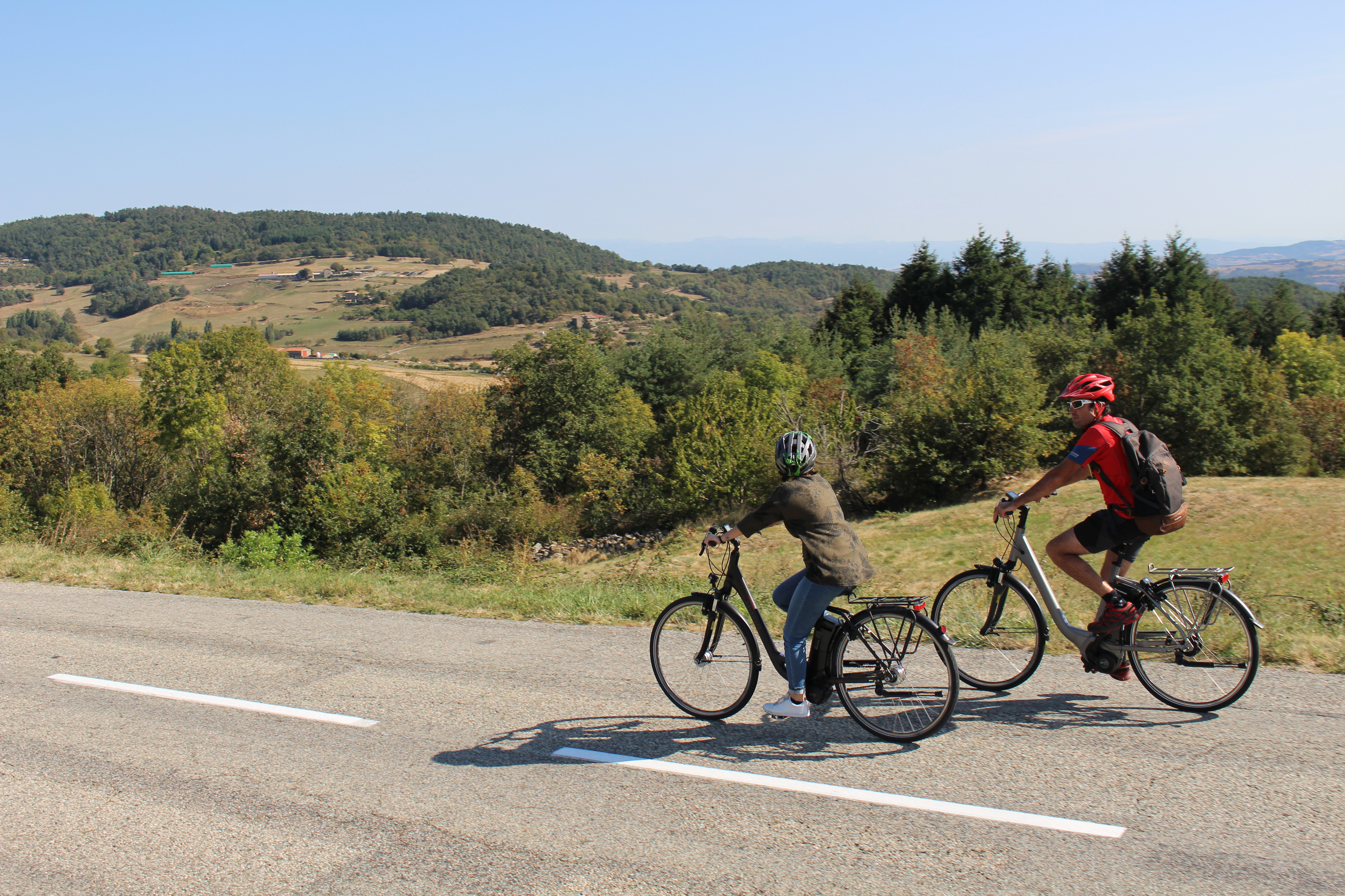
The plateau midway
Vaudevant
The plateau midway
2h
26,8km
+638m
-635m
Embed this item to access it offline
4 points of interest
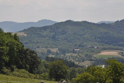
Vue du Col du Juvenet - Ardèche Hermitage Tourisme  Panorama
Viewing point
Col de Juvenet viewing point Panorama
Viewing point
If you take a few steps forward you will discover a wide panorama with the Pilat mountains in the background. Twelve church steeples and belltowers can be seen on a clear day !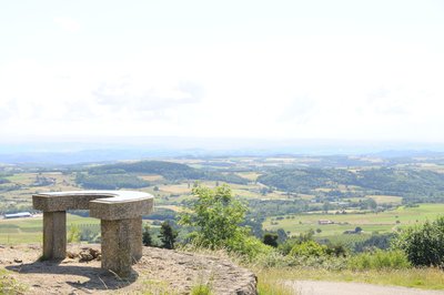
Vue de la table d'orientation - Ardèche Hermitage Tourisme PanoramaViewpoint indicator
This viewpoint indicator overlooks the village of Saint Victor and offers a 180° panoramic view. It indicates the countless villages that can be seen from there along with the different distant alpine peaks including the Mont Blanc in the background.- Panorama
Viewing point
View of the village of Saint Victor
Description
Follow the main road towards Satillieu and go uphill towards col du Juvenet.
1. 2,7 km Turn right at the pass onto a small road signed up Les Hubacs.
2. 8,5 km Turn second right after Monichet then continue straight on.
3. 11,4 km Turn right at the giveway sign on the main road.
4. 13 km Turn right just before the stop sign towards Navas.
5. 13,8 km Go past the hamlets L’Hôte and Pral then continue straight on.
6. 13,9 km Straight on at the crossroads with the 11th-century chapel then turn left immediately.
7. 15,1 km Turn right at the giveway sign as you come to the main road.
8. 16,2 km Turn right onto the small road signed up “Table d’orientation, Le Cardère, Dragonnet.
9. 16,9 km Turn left then continue uphill to the “table d’orientation, Le Cardère, Genest”.
10. 18 km Carry straight on past the hamlet Les Bauds.
11. 18,7 km At the crossroads signed up “Les Bauds” where you have just come from, turn left and go down to the main road.
12. 19,9 km At the stop sign, follow the main road on the right.
13. 22 km Go past “col de Fontaille” and just after, turn onto the small road signed up Juny.
14. 23,2 km Once on the main road again at the bottom continue on the right side.
15. 24,7 km As you enter Saint-Félicien, turn right towards Vaudevant and return to the village.
- Departure : Vaudevant – Village square
- Arrival : Vaudevant – Village square
- Towns crossed : Vaudevant, Saint-Victor, and Saint-Félicien
Altimetric profile
Information desks

6, place du 8 mai 1945 - BP 70019, 26601 Tain l'Hermitage
Access and parking
Parking :
Village square
More information
Report a problem or an error
If you have found an error on this page or if you have noticed any problems during your hike, please report them to us here: