From the vineyards of Tain to the Dancing Rocks
Tain-l'Hermitage
From the vineyards of Tain to the Dancing Rocks
Hard
4h
55,5km
+624m
-624m
Embed this item to access it offline
2 points of interest

 Flora
FloraTain l'Hermitage vineyards
The Hermitage slopes are the symbol of Rhodanien landscapes and are part of the most beautiful wine-growing areas in the region. At the heart of the northern Côtes du Rhône vineyards, this site was classified in 2013. Covering all the southern facing hillsides and offering an interesting, historical and beautiful landscape all add to making this great vineyard a good visual reference. Geology
The Dancing Rocks in Saint Barthélemy de Vals
The name les Roches qui Dansent (dancing rocks) comes from a legend. One Christmas evening, the effect of moonlight and passing clouds on the rocks made it seem like they were moving. This unusual geological site is made up of massive blocks of quartz sandstone, the result of sand solidification during the Eocene era. Even nowadays, geological reality is left behind when our imagination takes over in this natural setting, ideal for daydreaming.
Description
1 - 0 km
Starting from Tain l'Hermitage, the trail climbs up through the Hermitage hillsides giving you an exceptional view over both Valleys of the rivers Rhône and Isère. It then continues along the road on the plateau overlooking the ‘défilé de Saint Vallier” a succession of curves in the majestic Rhône river.
2 – 4.6 km
Between dells, glens and gentle hills, the trail heads slowly towards the village of Larnage.
3 – 13.5 km
Along the way you will go up and down the hills of Drôme to the Roches qui Dansent (dancing rocks).
4 – 22.1 km
An easy journey towards Chantemerle les Blés, with its Roman church offering a remarkably decorative display, before coming to the first hilly areas on the way to Veaunes where you can admire the plains of Herbasse.
5 – 30.5 km
After the village of Chanos Curson a route heads south downhill between vineyards and orchards before reaching the banks of the river Isère.
6 – 37.3 km
From Châteauneuf sur Isère, the cycling track Vallée de l’Isère (V63) will take you to the edge of the river then along to Pont de l’Isère.
7 – 44.9 km
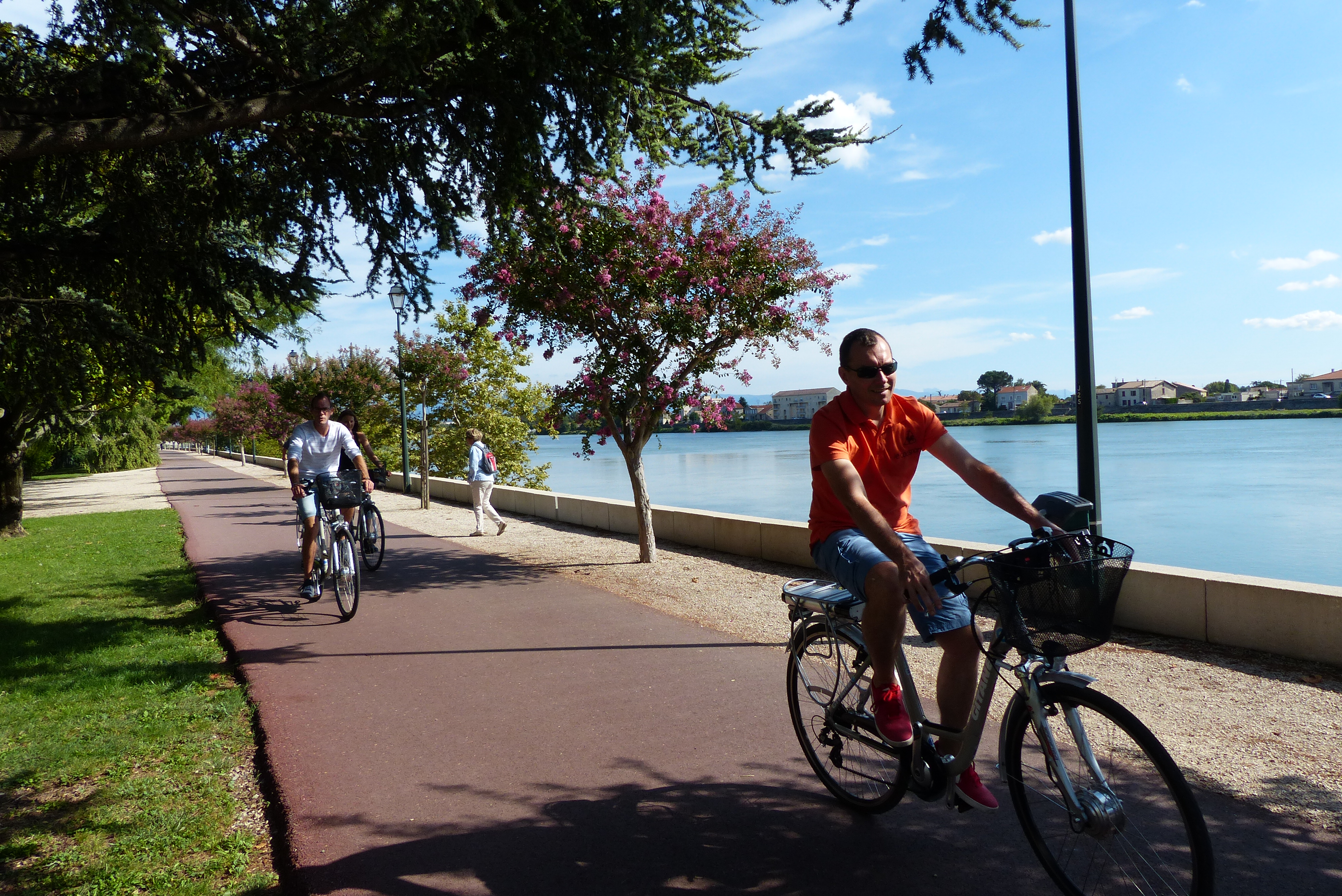
The route follows the river Rhône as far as Tain l’Hermitage (leading to the ViaRhôna).
Starting from Tain l'Hermitage, the trail climbs up through the Hermitage hillsides giving you an exceptional view over both Valleys of the rivers Rhône and Isère. It then continues along the road on the plateau overlooking the ‘défilé de Saint Vallier” a succession of curves in the majestic Rhône river.
2 – 4.6 km
Between dells, glens and gentle hills, the trail heads slowly towards the village of Larnage.
3 – 13.5 km
Along the way you will go up and down the hills of Drôme to the Roches qui Dansent (dancing rocks).
4 – 22.1 km
An easy journey towards Chantemerle les Blés, with its Roman church offering a remarkably decorative display, before coming to the first hilly areas on the way to Veaunes where you can admire the plains of Herbasse.
5 – 30.5 km
After the village of Chanos Curson a route heads south downhill between vineyards and orchards before reaching the banks of the river Isère.
6 – 37.3 km
From Châteauneuf sur Isère, the cycling track Vallée de l’Isère (V63) will take you to the edge of the river then along to Pont de l’Isère.
7 – 44.9 km
The route follows the river Rhône as far as Tain l’Hermitage (leading to the ViaRhôna).
- Departure : Tain l'Hermitage -Tourist office
- Arrival : Tain l'Hermitage -Tourist office
- Towns crossed : Tain-l'Hermitage, Crozes-Hermitage, Larnage, Chantemerle-les-Blés, Érôme, Chavannes, Mercurol-Veaunes, Chanos-Curson, Beaumont-Monteux, and La Roche-de-Glun
Altimetric profile
Information desks

6, place du 8 mai 1945 - BP 70019, 26601 Tain l'Hermitage
Transport
Bus route N° 4 Valence - Tain l'Hermitage - Serves sur Rhône
Access and parking
Follow the N7 from Valence towards Lyon as far as Tain l'Hermitage.
Parking :
Market Square (Vélodis)
Accessibility
- Emergency number :
- 114
More information
Report a problem or an error
If you have found an error on this page or if you have noticed any problems during your hike, please report them to us here: