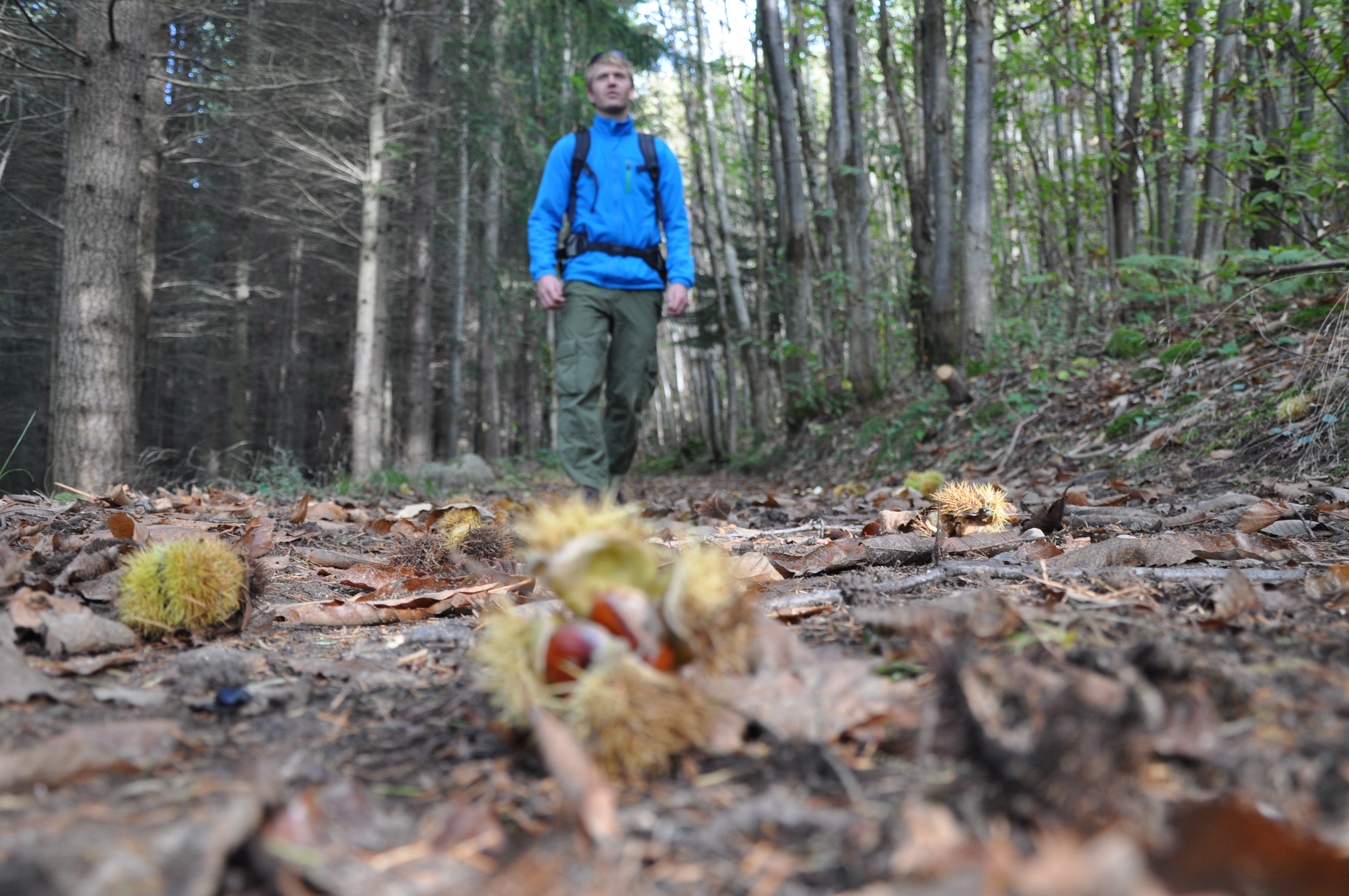
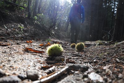
The forest of Malaurier
Bozas
The forest of Malaurier
Easy
2h30
6,4km
+238m
-235m
Embed this item to access it offline
6 points of interest
Voie antique de Malaurier - Ardèche Hermitage Tourisme 
Roman way of Malaurier
A stone-paved path out in the countryside…. Quite intriguing and it makes us wonder if these paving stones have experienced the walking steps of “caligae” (Roman legionnaires’ sandals) Rather difficult nowadays to confirm if that was the case. However, the oppidum above the village of St Symphorien de Mahun and the Roman bridge ruins in Boucieu le Roi and in Tournon sur Rhône make it quite possible for it to have been a communication route across the plains of Ardèche. At that time roads were built on the smoothest terrain to make travelling easier. An example of this is the route going from Lamastre to annonay. If you close your eyes you can hear Gauls singing in the distance and you might even find some mistletoe to add to your magic potion. Luckily we are aware today that the berries are poisonous !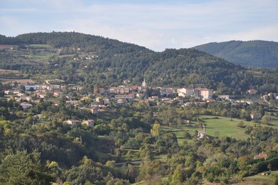
Point de vue sur Saint Félicien - Ardèche Hermitage Tourisme  Panorama
Viewing point
Viewing point overlooking the village of Saint Félicien and the Daronne valley.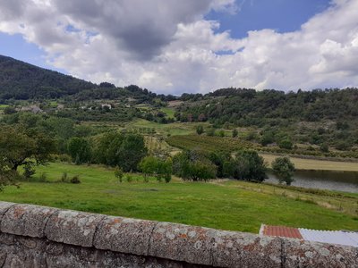
Vu sur une partie du Bois Madame - ADSEA The Bois Madame
The Bois Madame culminates at 802 m above the village of Bozas. Quite characteristic with its unusual shape, this hillside and its forest, can be seen from a considerable distance away. It is an easy landmark for the whole area. It is said that this woodland in some way helped many young women having difficulty in childbearing… Its name and shape do evoke this possibility however the rumour does not make any mention of the final results! Panorama
Viewing point
Beautiful views of the Doux and Rhône valleys along with the Alps and the Mont Blanc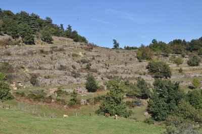
Vue des chalets - Ardèche Hermitage Tourisme  Small patrimony
Chalets
If ever you hear a native of Ardèche mention the words « chalets », « faisses » or even « chambas » he (she) isn’t talking about the names of birds, just describing the so familiar landscape ! It definitely isn’t an easy task being a farmer on such steep slopes but it takes more than that to discourage the people from round here. And that is how Mankind came to shape the landscape making it more possible to work on. In order to increase the amount of land for growing, he decided to build the dry-stone wall terraces you can see, spreading across the slopes. These retaining walls were also used to hold water tanks, very handy on granitic well-drained soils !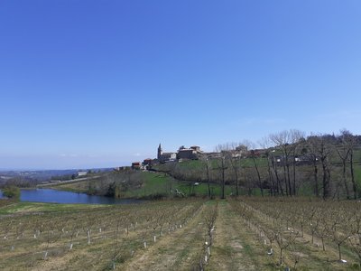
Village avec le château en son sein - ADSEA 
The château of Bozas
This château is made of " three wings arranged round a small inner courtyard, closed from the east side by a wall with a postern cutting through it " It was built between Xlllth and XVth century no doubt. At the end of the XVlllth century the village Marquis had an important extension added on.
Description
The walk starts at the « Info rando » information board in front of the church.
1 – Bozas – 530m Follow Malaurier 2km Saint Félicien 6.3km
Go down the small road to the junction in the same direction. Continue down and along the pond before walking uphill again. Go past the crossroads le Murier then leave the road turning left onto an ascending path. At the top of the path go through a cherry orchard then enter the wood going down to Malaurier.
2 – Malaurier – 520m Follow Bozas 4.3 km
Follow the little tarmac road past the fortified manor house Massa. When you reach la Valette, go left up a stony incline through woods called Bois Madame. Some parts are extremely steep. The path is the dividing line between a grove of douglas pine lower down and a wood of oak, chestnut and Sylvester pine. Go down to the small road and turn right.
3 - La Combe - 593 m Follow Bozas 800m
The road goes down towards the village.
4 - Ruisseau de Choisine - 530 m
Follow Bozas 500 m Cross a small stream below the village and head back to the starting point.
- Departure : Bozas - Church square
- Arrival : Bozas - Church square
- Towns crossed : Bozas
Altimetric profile
Information desks

6, place du 8 mai 1945 - BP 70019, 26601 Tain l'Hermitage
Transport
Bus route N° 7 Annonay - Saint Félicien - Lamastre. Bus stop Bozas Croix des Champs
Access and parking
Follow the D234 from Saint Félicien then the D278 towards Lamastre and finally the D272a as far as the village of Bozas
Parking :
Church square
More information
Report a problem or an error
If you have found an error on this page or if you have noticed any problems during your hike, please report them to us here: